You know the feeling. The air is thick, heavy, and still. Stepping outside feels like walking into an oven, and even the nights offer little relief. For days, or even weeks, an entire region is held captive by a suffocating, inescapable heat. We call these events heatwaves, but the engine driving the most extreme and prolonged among them has a more vivid name: the atmospheric dome, or “heat dome.”
This isn’t just a weather event; it’s a geographic phenomenon. A heat dome has a distinct spatial structure, is shaped by the physical landscape, and has profound, often devastating, consequences for the human geography of our cities and nations. To understand the future of heat in a warming world, we must first understand the geography of the dome.
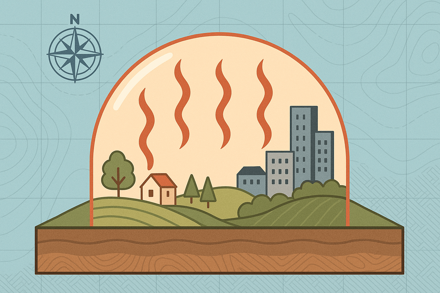
What is an Atmospheric Dome? A Lid on the Sky
Imagine placing a heavy glass lid over a pot of water on the stove. As you turn up the heat, steam fills the pot, but the lid traps it. The pressure and temperature inside build relentlessly. A heat dome works on a similar principle, but on a continental scale.
It all starts with a powerful, persistent area of high pressure in the upper atmosphere. This high-pressure system acts like a giant atmospheric pump, pushing air down towards the ground. As this air sinks, it gets compressed and heats up significantly—a process known as adiabatic heating. This sinking column of hot air forms an effective “cap” or “dome” over a vast region.
Here’s the dangerous feedback loop it creates:
- The sun beats down, heating the ground.
- The ground radiates that heat back into the lower atmosphere.
- Ordinarily, this hot air would rise, cool, and dissipate. But the high-pressure dome acts as a lid, preventing the hot air from escaping.
- The trapped hot air sinks back down, is reheated, and the cycle intensifies. The air inside the dome becomes stagnant and bakes day after day, getting progressively hotter.
The result is not just a hot day, but a prolonged period of extreme heat that smothers everything below, from mountain valleys to bustling metropolises.
The Physical Geography of Formation: Where the Domes Descend
Heat domes don’t form just anywhere. Their location is dictated by large-scale atmospheric patterns, particularly the behavior of the jet stream—the high-altitude river of air that circulates the Northern Hemisphere.
When the jet stream has a strong, wavy flow, it can create a pattern meteorologists call an “omega block”, named for its resemblance to the Greek letter Ω. In this pattern, a large, stubborn ridge of high pressure gets stuck in the peak of the wave, while low-pressure systems are diverted around it. This stalled high-pressure system is the perfect recipe for a heat dome to form and linger.
Certain geographical features on the ground can amplify a heat dome’s effects:
- Landmasses vs. Oceans: Large continental interiors, far from the moderating influence of the ocean, can heat up much more quickly, providing the fuel for a powerful heat dome.
- Mountain Ranges: Topography plays a crucial role. Mountain ranges like the Rockies and Cascades in North America or the Alps in Europe can act as barriers, helping to trap the hot air mass in basins and valleys, intensifying the heat locally.
- Soil Moisture: The condition of the land matters. In regions suffering from drought, the sun’s energy goes directly into heating the dry ground and the air above it (sensible heat). If the soil were moist, much of that energy would go into evaporation (latent heat), a cooling process. Drought and heat domes thus create a vicious cycle.
A Map of Misery: Case Studies of Heat Domes in Action
The Pacific Northwest, USA & Canada (June 2021)
Perhaps the most infamous recent example was the 2021 heat dome that shattered temperature records across a region famous for its mild, temperate climate. The dome locked in place over British Columbia, Washington, and Oregon.
The town of Lytton, British Columbia, located in a river valley, hit 49.6°C (121.3°F)—a new all-time Canadian record—before being largely destroyed by a wildfire the following day. Portland, Oregon, reached 46.7°C (116°F) and Seattle hit 42.2°C (108°F), temperatures previously unimaginable for these cities. The geographic confinement by the Cascade Mountains exacerbated the heating. The human impact was catastrophic, with hundreds of excess deaths, buckling roads, and melting power cables, as the region’s infrastructure and population were completely unprepared for such conditions.
Western Europe (July 2022)
A year later, Europe faced its own atmospheric siege. A powerful heat dome, amplified by La Niña conditions and widespread drought, settled over the continent. For the first time in recorded history, the United Kingdom exceeded 40°C (104°F). France, Spain, and Portugal endured scorching heat that fueled massive, uncontrollable wildfires.
This event highlighted the vulnerability of densely populated European cities. In London, the fire brigade had its busiest day since World War II battling blazes on the urban fringe. The heat exposed the limits of infrastructure not designed for a Mediterranean climate and had severe impacts on agriculture, with crops withering across the continent.
The Human Geography of a Heatwave: An Unequal Burden
A heat dome lays bare the inequalities woven into our urban landscapes. The experience of a heatwave is not uniform; it is shaped by where and how you live.
This is most evident in the urban heat island effect. Concrete, asphalt, and dark roofs in cities absorb and retain far more heat than natural landscapes. With less tree cover and green space to provide shade and evaporative cooling, urban cores can be several degrees hotter than their leafy suburbs or surrounding rural areas. A heat dome places a magnifying glass on this effect, turning city centers into dangerous thermal traps.
Within those cities, vulnerability is sharply divided. Low-income neighborhoods often have the least green space, older and less insulated housing, and lower rates of air conditioning. The elderly, young children, individuals with chronic health conditions, and outdoor workers in sectors like construction and agriculture bear a disproportionate risk. A heat dome is therefore not just a meteorological event, but a social and environmental justice crisis.
Conclusion: Living Under a Fiery Sky
Atmospheric domes are natural phenomena, products of the complex dance of pressure systems and air currents. However, climate change is loading the dice. A warmer planet provides a higher baseline temperature, so when a heat dome does form, it can reach far more extreme and dangerous temperatures. Scientific studies, like the one on the 2021 Pacific Northwest event, have concluded that such heatwaves are now more frequent and intense, and would have been “virtually impossible” without human-caused climate change.
Understanding the geography of a heat dome is essential for our survival. It teaches us why we must design our cities with more green spaces, protect our most vulnerable populations, and create robust warning systems. The dome in the sky is a powerful reminder of the profound connection between the atmosphere above, the landscape below, and the lives we lead upon it.