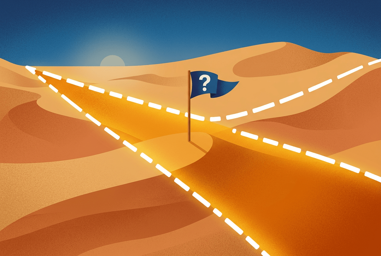
A Tale of Two Borders
The origins of Bir Tawil trace back to the twilight of the 19th century, when Britain controlled both Egypt and Sudan. In 1899, British administrators drew a straight-line border between the two territories along the 22nd parallel north — a clean, simple line typical of colonial map-making that ignored geography and people alike.
Just three years later, in 1902, Britain drew a second boundary. This “administrative” line was meant to reflect the realities on the ground: it assigned territory based on which tribes actually used the land and which government could more practically administer it. The 1902 line deviated from the straight 22nd parallel in two crucial places:
- The Hala’ib Triangle — a 20,580-square-kilometer area on the Red Sea coast, placed under Sudanese administration because its inhabitants had closer ties to Khartoum.
- Bir Tawil — a smaller, landlocked wedge south of the parallel, assigned to Egypt because it served as grazing land for the Ababda tribe based near Aswan.
For decades, this arrangement caused little friction. But when Sudan gained independence in 1956, the two lines became a diplomatic time bomb.
The Paradox: Why Nobody Claims Bir Tawil
Here is where the story turns delightfully absurd. Egypt insists the 1899 border along the 22nd parallel is the legitimate international boundary. Under that interpretation, the resource-rich, coastal Hala’ib Triangle belongs to Egypt — but Bir Tawil, sitting south of the parallel, belongs to Sudan.
Sudan argues the opposite: the 1902 administrative line is the true border. That would give Sudan the Hala’ib Triangle — but hand Bir Tawil to Egypt.
The result is a legal impossibility. Neither country can claim Bir Tawil without simultaneously surrendering its claim to the far more valuable Hala’ib Triangle, which boasts Red Sea coastline, fishing grounds, potential mineral wealth, and a population of tens of thousands. Bir Tawil, by contrast, offers almost nothing: no permanent residents, no known significant resources, no coastline, and summer temperatures that regularly soar past 45°C (113°F).
So both nations claim Hala’ib — Egypt currently administers it, to Sudan’s ongoing protest — and both emphatically disclaim Bir Tawil. Neither prints it inside its borders on official maps. It is, in effect, orphaned by geopolitics.
The Geography of Nowhere
What does this unwanted land actually look like? Bir Tawil sits within the Nubian Desert, an eastern extension of the Sahara. Its name means “tall well” in Arabic, referring to a water source in the region — a reminder that even this harsh landscape once supported nomadic herders.
Key geographic features include:
- Terrain: Rocky desert plateaus, dry wadis (seasonal riverbeds), and sandy plains, with Jabal Tawil, a hill rising about 459 meters, near its northern edge.
- Climate: Hyper-arid, receiving virtually no annual rainfall. Daytime heat is extreme; nights can be surprisingly cold.
- Population: Officially zero permanent residents, though members of the Ababda and Bisharin peoples have historically passed through with their herds, and gold prospectors occasionally work the area informally.
- Access: There are no paved roads. Reaching Bir Tawil requires an arduous overland journey, typically from Egypt, with permits and armed escorts often required just to approach the region.
Kings of an Empty Kingdom
Naturally, a patch of unclaimed land in the internet era has attracted dreamers, pranksters, and self-styled monarchs — a phenomenon known as micronationalism.
The most famous claimant is Jeremiah Heaton, an American farmer from Virginia. In 2014, Heaton trekked to Bir Tawil and planted a homemade flag, declaring the “Kingdom of North Sudan” so that his young daughter Emily could be a real princess — a promise he had made to her. The story went viral, and Disney even briefly explored a film adaptation before the project drew criticism for echoing colonial land-grabs.
Others have followed. In 2017, an Indian man named Suyash Dixit drove to the territory, planted a flag and some seeds, and proclaimed himself ruler of the “Kingdom of Dixit.” Numerous online-only claimants have declared virtual sovereignty without ever setting foot on the sand.
None of these claims carry any legal weight. International law does not recognize individuals as capable of claiming sovereignty; statehood under the widely cited Montevideo Convention of 1933 requires a permanent population, a defined territory, a functioning government, and the capacity to conduct foreign relations. A flag and a viral news story satisfy none of these criteria.
What Terra Nullius Means Today
The concept of terra nullius — land belonging to no one — has a dark history. European powers invoked it to justify colonizing inhabited lands, most infamously in Australia, where the doctrine was used to dismiss Aboriginal land rights until the landmark Mabo decision of 1992 overturned it.
Genuine terra nullius is now vanishingly rare. Besides Bir Tawil, the closest parallels are:
- Marie Byrd Land in Antarctica — a vast unclaimed sector, though the Antarctic Treaty freezes all territorial claims there anyway.
- Small border anomalies, such as disputed pockets along the Danube between Croatia and Serbia, where one claimant micronation, “Liberland”, was declared in 2015.
Bir Tawil stands apart because it is unclaimed not through oversight, but through deliberate, mirrored rejection — a strategic disavowal by two sovereign states.
Could Anyone Ever Own Bir Tawil?
In theory, if Egypt and Sudan ever resolved the Hala’ib dispute, the losing party would presumably absorb Bir Tawil as a consolation. Some scholars have suggested the land could serve experimental purposes — a special economic zone, a scientific research station, or even a symbolic home for stateless peoples. In practice, its brutal environment, lack of water, and diplomatic sensitivity make any such project unlikely.
For now, Bir Tawil remains what it has been for over a century: a geographic ghost, a trapezoid-shaped reminder that borders are human inventions — lines drawn by distant administrators that can create paradoxes lasting generations. In a world obsessed with claiming territory, there is something oddly poetic about a place defined entirely by rejection.
The next time you look at a world map and see those crisp, confident borders, remember Bir Tawil: proof that even in the 21st century, the map is not always the territory — and sometimes, nobody wants the territory at all.