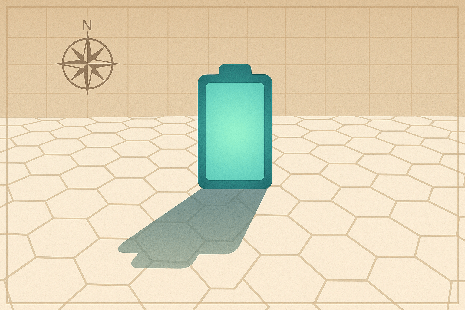
Understanding Salar de Uyuni requires looking at it not as one place, but as several overlapping geographies—a canvas of stunning physical phenomena, a homeland of deep indigenous heritage, and a strategic prize in a new geopolitical game.
A Canvas of Salt: The Physical Geography
Salar de Uyuni is a relic of a colossal prehistoric past. Located on the Altiplano, a high-altitude plateau nestled in the Andes Mountains at roughly 3,656 meters (12,000 feet), this entire region was once submerged beneath a giant lake called Lago Minchin. Over millennia, as the climate changed, the lake evaporated, leaving behind a thick, mineral-rich brine and a crust of salt several meters deep. The result is a salt desert covering over 10,000 square kilometers, an area larger than some countries.
This immense landscape is defined by two dramatic seasons:
- The Dry Season (May to November): The Salar transforms into a polygon-tiled desert. The ground cracks into mesmerizing hexagonal shapes of pure, crystallized salt under the relentless sun. This is the Salar of stark, graphic beauty.
- The Wet Season (December to April): A shallow layer of rainwater covers the impermeable salt crust, creating the famous espejo, or mirror effect. The Salar becomes a perfect reflection of the sky, a surreal landscape where visitors appear to walk on clouds and the concept of a horizon dissolves completely.
The Salar’s incredible flatness—with elevation changes of less than a meter across its entire expanse—makes it an ideal site for calibrating the altimeters of Earth-orbiting satellites. In the middle of this salty sea sits Isla Incahuasi, a rocky outcrop covered in towering, millennia-old cacti. This “island” is a vestige of the ancient volcano that once protruded from Lago Minchin, a testament to the region’s deep geological time.
Footprints on the Salt: The Human Geography
Long before it was a tourist hotspot or a mining prospect, the Salar de Uyuni was, and remains, a homeland. The surrounding lands are the ancestral territory of Aymara and Quechua communities whose lives have been interwoven with the salt for generations. For them, the Salar is not a void but a provider.
The traditional human geography is one of subsistence and resilience. Locals, known as saleros, have historically harvested the salt by hand. They scrape the top layer into conical mounds that dot the landscape, allowing the salt to dry before it’s processed and transported to nearby cities like Uyuni and Potosí. Beyond the salt, the surrounding semi-arid lands support the cultivation of quinoa—a grain perfectly adapted to the high altitude and salty soil—and the herding of llamas and alpacas, which provide wool, meat, and transport.
In recent decades, a new human geography has been superimposed on the old: tourism. The town of Uyuni, once a sleepy railway junction, has exploded into a bustling hub for 4×4 tours. This industry has created a critical economic lifeline, supporting guides, drivers, and unique enterprises like the famous salt hotels, constructed almost entirely from blocks of salt. This tourism map, however, exists in a delicate balance with the traditional one, bringing vital income but also raising concerns about environmental degradation and the commercialization of culture.
The White Gold Rush: Geopolitics and the Lithium Map
The third and most globally significant map is a geological one, found beneath the surface. The brine that saturates the salt crust of Salar de Uyuni contains one of the planet’s largest identified lithium resources. This light, reactive metal is the essential ingredient in the rechargeable batteries that power everything from our smartphones to, most critically, electric vehicles (EVs). As the world pivots toward green energy to combat climate change, the demand for lithium is skyrocketing, turning this remote Bolivian plateau into a strategic nexus of global geopolitics.
Bolivia sits at the northern tip of the so-called “Lithium Triangle,” a geographical region it shares with Chile and Argentina. Combined, these three nations hold over half of the world’s known lithium resources. Yet, while its neighbors have developed large-scale mining operations, Bolivia has lagged significantly behind. The reasons are a complex mix of geography, chemistry, and politics.
Bolivia’s Extraction Challenge
The lithium in Uyuni’s brine is notoriously difficult to process. It has a high concentration of magnesium, which must be separated from the lithium—a technically complex and costly endeavor. Furthermore, the long rainy season that creates the beautiful mirror effect dilutes the brine and hinders the solar evaporation pond method used effectively in the drier Atacama Deserts of Chile and Argentina.
Being a landlocked country presents another immense geographical hurdle. Any processed lithium must be transported over the Andes Mountains to ports on the Pacific or Atlantic coasts, a major logistical and infrastructural challenge. Finally, Bolivia’s political history, scarred by centuries of foreign resource exploitation (from the silver of Potosí’s Cerro Rico to its tin and natural gas), has created deep-seated national skepticism. The government is determined to avoid simply exporting a raw material. Its goal is to control the entire value chain—from brine to battery manufacturing—ensuring the wealth benefits the Bolivian people directly. This ambitious, nationalistic approach has slowed investment and stalled large-scale development as international firms from China, Russia, and the West vie for access.
A Crossroads of Futures
Salar de Uyuni is more than just a destination; it is a profound geographical crossroads. Here, the serene, timeless beauty of a natural wonder collides with the deep-rooted culture of its indigenous inhabitants and the urgent, global demand for a 21st-century resource. The future of this extraordinary place rests on finding a delicate balance. Can Bolivia harness its “white gold” to power a new era of prosperity without poisoning its sacred landscapes? The answer will determine not only the fate of the world’s largest salt flat, but will also draw a new kind of map—one that charts a course between preservation, heritage, and progress in the age of green energy.
