Close your eyes for a moment. Imagine you’re standing in the heart of a bustling city like Tokyo or on the edge of a vast natural wonder like the Grand Canyon. How would you navigate? You might rely on memory, the feel of the ground beneath your feet, or the faint sounds filtering through. Now, imagine you could shout and, from the returning echoes, instantly build a perfect, three-dimensional map of every building, every crevice, every moving car, and every person around you. This isn’t science fiction; it’s the daily reality for a host of animals who have mastered the art of echolocation—nature’s own sonar map.
For us humans, geography is an overwhelmingly visual discipline. We map our world with satellite images, aerial photography, and sight-based surveys. But in the animal kingdom, some creatures have evolved a completely different geographic information system, one built not from light, but from sound. They are the planet’s original cartographers of the dark, charting complex spaces in real-time with astonishing precision.
The Fundamentals of Sound Cartography
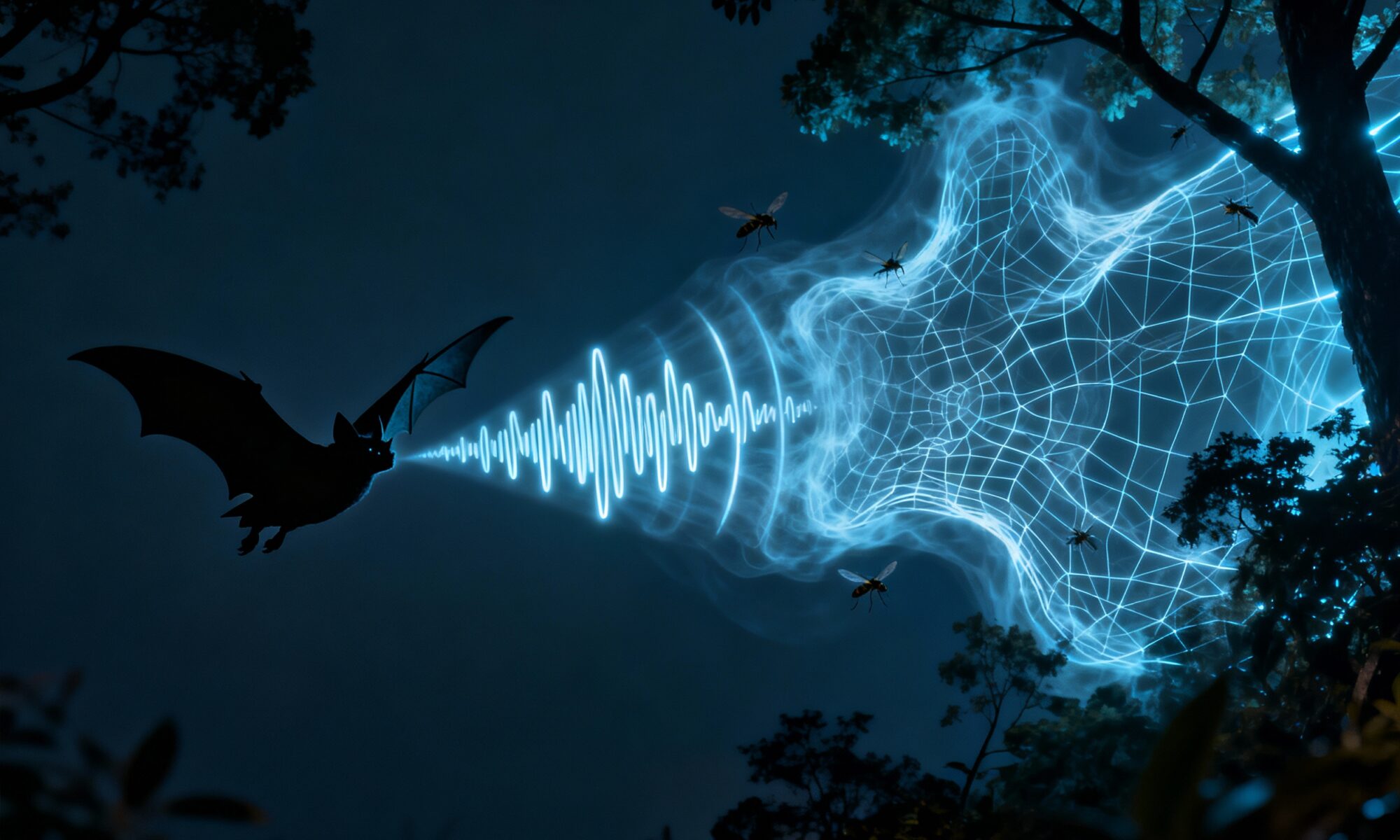
Echolocation, at its core, is a simple yet elegant process. An animal emits a high-frequency sound pulse—often a click or a chirp far beyond the range of human hearing. This sound travels outward, bounces off objects in the environment, and returns as an echo. The animal’s brain then acts as a powerful geographic information system (GIS), processing these echoes to build a detailed “sound map.”
This isn’t just about avoiding obstacles. The information encoded in these echoes is incredibly rich. By analyzing the time it takes for an echo to return, an animal can calculate the exact distance to an object. The loudness of the echo reveals the object’s size, while the texture of the returning sound waves can signal an object’s material and shape—the difference between the hard, smooth surface of a rock and the soft, fluttering body of a moth. Some animals can even use the Doppler effect—the change in a sound’s pitch as the source moves—to determine the speed and direction of a moving target, like prey.
This biological sonar turns the world into a dynamic, interactive 3D model. It’s a sentient map, constantly updating with every pulse of sound.
Mapping Physical Geography: From Cave Systems to Underwater Canyons
Echolocating animals are masters of navigating some of the planet’s most challenging physical geographies—places where light is scarce or completely absent.
Bats: Surveyors of Terrestrial Topography
Consider the bat, the most famous echolocator. When a bat flies through a dense forest at night, it isn’t flying blind. It’s performing a high-speed topographic survey. Its calls allow it to map the exact location of every tree trunk, branch, and even individual leaves. It can differentiate the echo of a stationary leaf from the subtle, fluttering return of a moth it intends to eat. This is nature’s equivalent of LiDAR (Light Detection and Ranging), but for an individual creature.
Nowhere is this more impressive than in the world’s vast cave systems, like the intricate networks of Carlsbad Caverns in New Mexico or the Gomantong Caves in Borneo. For a human, these are disorienting, pitch-black labyrinths. For a bat, they are home. Their internal maps of these caves are so detailed that they can navigate the complex topography of stalactites, stalagmites, and narrow passages at high speed, even in a colony of thousands.
Dolphins: Charting a World of Bathymetry
Sound travels over four times faster in water than in air, making it an incredibly efficient medium for mapping. Dolphins and other toothed whales (odontocetes) have harnessed this to become the ultimate marine geographers. Using a series of high-pitched clicks generated in their nasal passages and focused by a fatty organ called the “melon”, they scan the world before them.
With this ability, a dolphin can map the ocean floor—the science we call bathymetry. It can perceive the gentle slope of a continental shelf, the sheer drop-off of an underwater canyon like the Monterey Canyon off California’s coast, or the complex structure of a coral reef. In murky coastal waters where visibility is near zero, echolocation allows them to “see” with perfect clarity, locating prey, avoiding predators, and navigating complex seascapes.
Acoustic Cartography in the Urban Jungle
Echolocation isn’t just for wild spaces. It also provides a fascinating lens through which to view human geography, especially in our sprawling cities. Urban environments present a unique and challenging “acoustic landscape” for animals like bats.
- Street Canyons: The tall, parallel buildings lining a city street create an environment that can be acoustically similar to a natural canyon, amplifying and channeling sound.
- Acoustic Mirrors: Large, flat surfaces like glass windows and metal-sided buildings act like acoustic mirrors. They produce loud, flat echoes that can be confusing and may mask the subtler echoes of prey or smaller obstacles.
- Noise Pollution: The constant hum of traffic, machinery, and human activity creates “acoustic smog” or anthrophony. This background noise can make it harder for bats to distinguish the faint echoes they rely on, forcing some species to change the frequency of their calls to cut through the din.
Studying how bats adapt to these human-made geographies—like the famous colony of 1.5 million Mexican free-tailed bats under the Congress Avenue Bridge in Austin, Texas—gives us invaluable insight into the intersection of wildlife and urban planning. We are, often unknowingly, building an acoustic world with its own unique geography, and these animals are the first to map it.
Nature’s GIS and Our Own Technology
When humanity wanted to map the 70% of our planet hidden beneath the oceans, we invented a technology that mimics what dolphins and whales have been doing for millions of years: SONAR (SOund Navigation And Ranging). We use sonar to create detailed bathymetric charts for navigation, explore for resources, and discover immense geographical features like the Mid-Atlantic Ridge.
In a way, an echolocating animal’s brain functions like a sophisticated Geographic Information System (GIS). A GIS platform allows human geographers to layer different types of data (like roads, elevation, and population density) onto a single map. Similarly, a bat’s brain layers data from its echoes—distance, size, texture, and movement—onto a constantly updating mental map of its immediate surroundings.
By studying this natural phenomenon, we gain a deeper appreciation for the different ways of perceiving and mapping space. Echolocation reveals a geography hidden from our eyes—a world painted not in color and light, but in frequency, texture, and time. It’s a powerful reminder that our human perspective is just one of many, and that all around us are living, breathing maps of the world we share.