What Exactly Is Geodiversity?
Simply put, geodiversity is the variety of non-living (abiotic) features on Earth. It encompasses the full spectrum of our planet’s geological makeup. Think of it as the planet’s physical “bones” and “skin.” This includes:
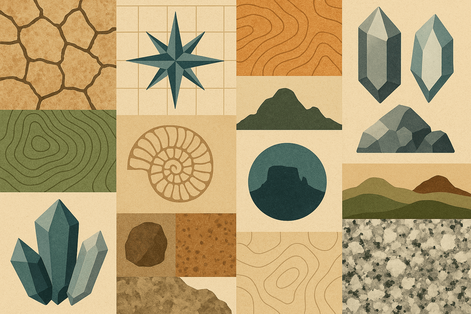
- Rocks and Minerals: The fundamental building blocks, from the hard granite of a mountain core to the soft chalk of coastal cliffs.
- Landforms (Geomorphology): The shape of the land surface, including mountains, valleys, plains, caves, canyons, and coastlines.
- Soils: The crucial, thin layer where the geological and biological worlds meet, formed from weathered rock and organic matter.
- Fossils: The preserved remains or traces of past life, offering a window into deep time.
- Physical Processes: The dynamic forces that create and modify these features, such as erosion, weathering, volcanism, and tectonic plate movement.
A region with high geodiversity might feature a complex coastline with rocky headlands, sandy bays, and a wide estuary, all formed from several different rock types. A region with low geodiversity might be a vast, flat plain composed of a single rock type with uniform soil.
The Unsung Hero of Ecosystems
For decades, conservation has focused almost exclusively on biodiversity. While this is crucial, it’s like trying to protect actors without maintaining the stage they perform on. Geodiversity provides the physical template and the essential resources that allow biodiversity to flourish.
The Stage for Life
The link is direct and undeniable. Different rocks weather into different soils with unique chemical compositions, which in turn determine which plants can grow there. For a classic example, look at the contrast between two iconic UK landscapes:
- The Chalk Downs of Southern England: The soft, alkaline limestone bedrock gives rise to thin, lime-rich soils. These conditions prevent deep-rooted trees from taking over and allow a unique community of wildflowers, including many species of orchid, to thrive.
- The Scottish Highlands: Here, hard, acidic rocks like granite and schist create nutrient-poor, acidic soils. This environment supports tough, resilient vegetation like heather, grasses, and sphagnum moss, forming vast peatlands and moorlands.
The shape of the land also creates diverse habitats. A south-facing slope receives more sunlight and is warmer and drier than a north-facing slope just a few hundred metres away, supporting entirely different plant and animal communities. Steep cliffs provide nesting sites for seabirds, while deep caves offer stable, protected environments for bats and unique invertebrates.
The Human Connection: From Culture to iPhones
Geodiversity’s value extends far beyond its role in supporting ecosystems. It has profoundly shaped human geography, history, and culture.
Historically, settlements were established based on geological advantages: a defensible hilltop (a landform), access to fresh water from a spring (hydrogeology), and fertile soils in a river valley (sediments). The very materials used to build our cities, from the limestone of Paris to the brownstone of New York City, are a direct product of local geology.
In the modern world, our reliance is even more profound. Every single piece of technology, from your smartphone to an electric vehicle, is built from minerals and metals extracted from the Earth’s crust. Geodiversity provides us with construction materials like sand and gravel, industrial minerals like salt, and the energy resources that have powered our societies. Beyond the practical, geodiversity fuels our sense of wonder and provides immense recreational and spiritual value. People travel thousands of miles to witness the grandeur of the Grand Canyon, hike the dramatic fjords of Norway, or feel a connection to deep time at Australia’s Uluru. This “geotourism” is a major economic driver for many communities.
How Do We Measure and Map Geodiversity?
If we want to protect something, we first need to understand where it is and how much of it there is. Geoscientists are now actively working to map geodiversity, much like biologists have mapped biodiversity hotspots.
The process typically involves using Geographic Information Systems (GIS) to overlay different data layers for a specific area. A scientist might create a map of all the different rock types, another map of the landforms (slopes, valleys, peaks), and a third map of the soil types. By combining these layers, they can create a “geodiversity index.” An area that scores highly on this index is one with a rich mosaic of rocks, landforms, and soils in close proximity. These maps help planners and conservationists identify “geodiversity hotspots” that are particularly valuable and may require protection.
Geoconservation: Protecting Our Geological Heritage
While rocks and mountains may seem permanent and indestructible, geodiversity is under threat. Unique landforms can be destroyed by quarrying; important fossil sites can be lost to urban development or road construction; and poor land management can lead to the irreversible loss of soil.
This has given rise to the field of geoconservation. The goal is not to stop all development but to ensure that the value of our geological heritage is recognised and managed wisely. Key conservation strategies include:
- Designated Sites: Creating protected areas for geologically significant sites, such as Sites of Special Scientific Interest (SSSIs) in the UK or National Monuments in the US.
- UNESCO Global Geoparks: These are internationally recognised areas that use their geological heritage to promote awareness, education, and sustainable economic development through geotourism. They are living examples of how to conserve and celebrate geodiversity.
- Integrated Planning: Incorporating geodiversity assessments into environmental impact reports for new construction, mining, and infrastructure projects to avoid or mitigate damage to important features.
The next time you go for a walk, try to look past the trees and see the shape of the valley they grow in. Notice the colour and texture of the soil under your feet. Pick up a rock and wonder about its journey. By learning to see and appreciate geodiversity, we gain a deeper understanding of our planet’s past, a better grasp of its present, and a wiser perspective on how to protect its future.