What makes a country, a country? Is it a flag, an anthem, a seat at the United Nations? Or is it something more fundamental, rooted in the very earth itself? We often take the world map for granted—a fixed mosaic of sovereign states with clearly defined borders. But dotted across the globe, in legal gray areas and geographical oddities, exists a fascinating collection of entities that challenge this tidy picture: micronations.
These self-proclaimed states, often born from a single individual’s ambition, are more than just quirky novelties. They are living experiments in governance and geography, forcing us to ask profound questions about territory, authority, and what it truly means to claim a piece of the planet as your own.
The Montevideo Convention: A Recipe for a Nation?
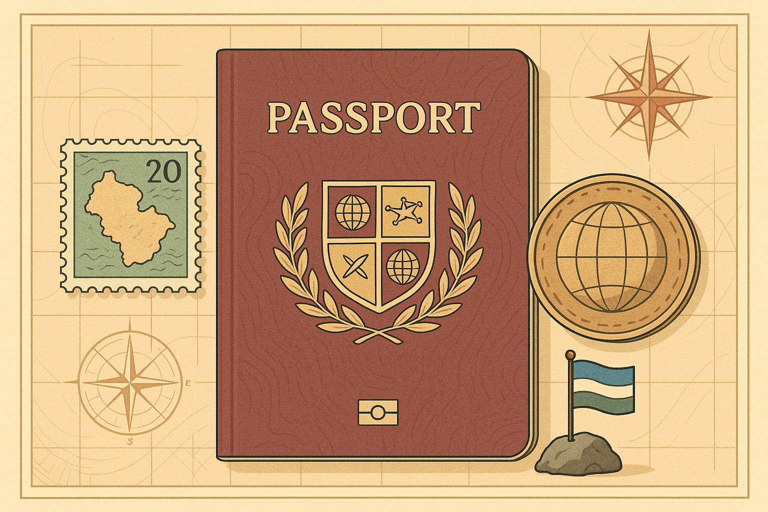
To understand the micronational dream, we first have to understand the official “rules” of statehood. The most widely cited framework is the 1933 Montevideo Convention, which lays out four core criteria for a state:
- A defined territory
- A permanent population
- A government
- The capacity to enter into relations with other states
While micronations diligently mimic the last two—appointing presidents, printing passports, and declaring foreign policy—it’s the first two criteria, territory and population, where geography throws them their biggest challenges and most creative opportunities.
The Quest for Territory: In Search of Terra Nullius
For any aspiring nation-builder, the holy grail is terra nullius—Latin for “nobody’s land.” In an age where nearly every square inch of dry land is claimed, finding a truly unclaimed parcel is almost impossible. This scarcity forces micronationalists to become expert geographical detectives, poring over old maps, obscure treaties, and geological phenomena to find a place to plant their flag.
Sealand: Sovereignty on the Sea
Perhaps the most famous micronation, the Principality of Sealand, is a masterclass in geographical opportunism. Its “territory” is HM Fort Roughs, a decommissioned World War II anti-aircraft platform plonked in the North Sea. In 1967, British major Paddy Roy Bates occupied the structure, noting its location in international waters, beyond the UK’s then-three-mile territorial limit.
Sealand’s entire claim to sovereignty rests on this geographical fact. It wasn’t land, but a man-made island in a legal no-man’s-land. Although the UK later extended its territorial waters to encompass the fort, Sealand continues to claim independence, a tiny steel nation defiant against the waves and the conventions of international law.
Liberland: A Nation Born from a River’s Whim
A more recent and compelling example is the Free Republic of Liberland, proclaimed in 2015. Its claimed territory is a 7-square-kilometer patch of floodplain and forest known as Gornja Siga, nestled on the west bank of the Danube River.
This is not ancient unclaimed land, but a modern geographical anomaly. The Danube has served as the border between Croatia and Serbia for centuries. However, the river has meandered over time. Serbia claims the border follows the river’s current course, while Croatia claims the historical border based on old cadastral maps. This dispute leaves several pockets of land, including Gornja Siga, effectively claimed by neither side. It is, in a sense, a modern-day terra nullius created by the shifting geography of a river. While Liberland’s founder, Vít Jedlička, has been unable to establish a permanent settlement due to Croatian border patrols, its claim highlights how the fluid, dynamic nature of the physical world can create cracks in the rigid world of political maps.
Hutt River: A Secession on the Farm
Not all micronations seek out empty land. Some, like the now-dissolved Principality of Hutt River in Western Australia, are born from disputes over existing territory. In 1970, farmer Leonard Casley, facing crippling wheat production quotas, used an obscure British law to declare his 75-square-kilometer farm had seceded from Australia.
For 50 years, “Prince Leonard” ran his principality, printing stamps, minting currency, and welcoming thousands of tourists who crossed a “border” to get their passports stamped. Hutt River’s geography wasn’t about finding empty space, but about redefining the sovereign control over a pre-existing space. It was an act of human geography—a challenge to the legal and political landscape rather than the physical one.
Human Geography: Who Are the Citizens?
If finding territory is hard, establishing a “permanent population” can be even harder. Sealand’s population rarely exceeds a handful of people. Most micronations exist only as websites and declarations, their populations scattered across the globe.
This is where the concept of the nation is evolving. Liberland, for instance, boasts hundreds of thousands of registered “e-citizens” who have applied for citizenship online. These people will likely never set foot in Gornja Siga. This raises a fascinating geographical question for the 21st century: Must a nation’s population inhabit its territory? Or can a diaspora, connected digitally, constitute a “permanent population”? Micronations are on the front lines of testing this idea, pushing the boundaries of what community and citizenship mean in an interconnected world.
The Unforgiving Map of Reality
Despite their creative claims and elaborate statecraft, no micronation has ever achieved widespread international recognition. The final criterion of the Montevideo Convention—the capacity to enter into relations with other states—is almost impossible to meet, because existing countries have no incentive to acknowledge them.
Recognizing Sealand could embolden every separatist group with a grievance. Acknowledging Liberland could legitimize challenges to border treaties worldwide. The established world order relies on the map as it is. Sovereignty, it turns out, is less a checklist of criteria and more a political club. If you’re not invited in by the existing members, you’re left on the outside.
Yet, micronations endure. They are powerful statements, acts of performance art, and libertarian experiments. They remind us that the borders on our maps are not natural features of the Earth; they are human constructs, drawn and enforced through power and agreement. By finding the planet’s geographical loopholes and planting a flag, micronationalists force us all to look at those lines and ask: what gives them their power, and could they ever be redrawn?