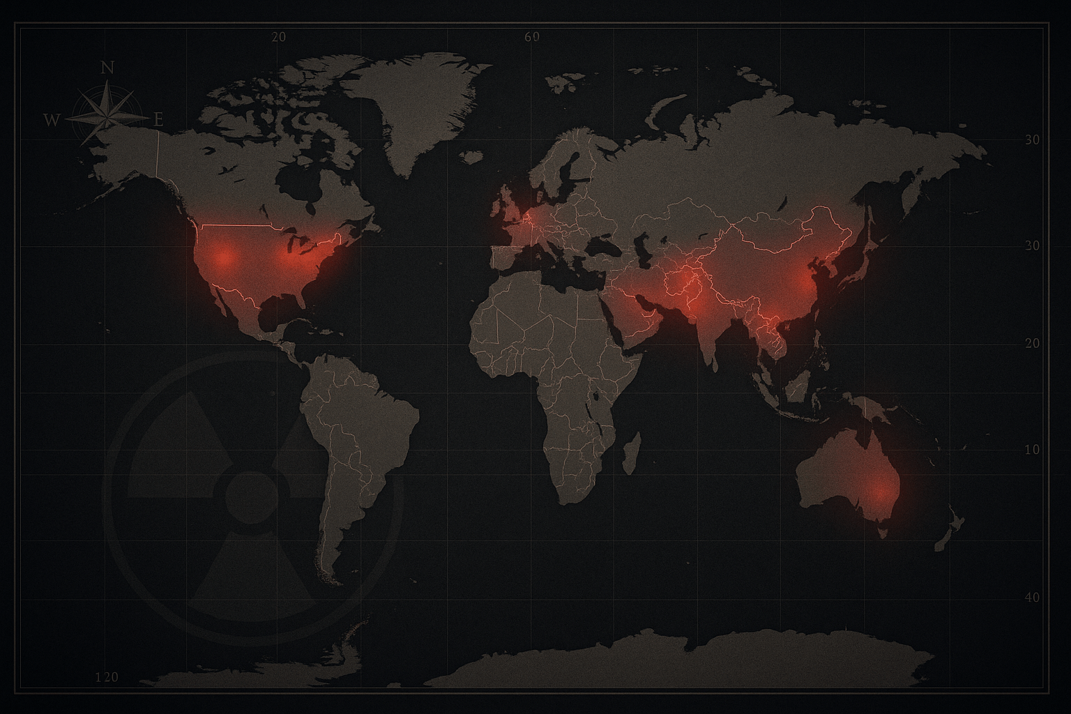
There exists a map of the world not often seen in atlases—a map defined not by political boundaries or physical relief, but by pockets of unimaginable power. This is the geography of the nuclear weapons club, the world’s most exclusive and dangerous fraternity. Membership grants a country the ultimate deterrent, a terrible power that fundamentally reshapes its relationship with every other nation on Earth. Membership is limited to just nine countries.
To understand this club is to understand a unique intersection of physical and human geography. The vast deserts, remote archipelagos, and hidden mountain valleys of our planet have served as the secret laboratories and testing grounds for these weapons. Meanwhile, the human geography of fear, ambition, and regional conflict has provided the motivation. Let’s tour the landscapes of the nine nuclear powers.
The Original Five: The P5 Nuclear-Weapon States
The first five members are the permanent members of the UN Security Council (P5), whose nuclear status is recognized under the 1970 Treaty on the Non-Proliferation of Nuclear Weapons (NPT). They agreed not to transfer nuclear weapons to other states, while non-nuclear signatories agreed not to develop them.
United States
The pioneer of the atomic age, America’s geography was a core asset. Its continental scale, buffered by two oceans, provided the security and space for a sprawling nuclear enterprise. The Manhattan Project was a masterpiece of geographical distribution: scientific research hidden in the remote canyons of Los Alamos, New Mexico; plutonium production on the banks of the Columbia River at the Hanford Site, Washington; and the first fateful test in the stark emptiness of the Jornada del Muerto desert at the Trinity Site. During the Cold War, this vastness allowed the U.S. to disperse its arsenal, hiding hundreds of Minuteman III missiles in hardened silos across the sparsely populated Great Plains of states like North Dakota, Wyoming, and Montana.
Russia
As the successor to the Soviet Union, Russia inherited the world’s largest nuclear arsenal. The USSR exploited its own immense geography—the largest country on Earth—for its program. The vast, desolate steppes of Kazakhstan (at the Semipalatinsk Test Site) and the Arctic isolation of the Novaya Zemlya archipelago served as its primary testing grounds. To maintain secrecy, the Soviets created an entire archipelago of “closed cities” like Sarov and Ozersk, which were centers of nuclear research but were entirely omitted from public maps. Today, its nuclear submarines prowl from bases in the Kola Peninsula, a landscape defined by icy fjords providing access to the North Atlantic.
United Kingdom
Unlike the continental superpowers, the United Kingdom is a small, densely populated island nation. This geographical constraint meant it had to look elsewhere to test its weapons. The UK’s program is a story of a shrinking empire’s reach, with tests conducted in the remote Montebello Islands off Western Australia and on Christmas Island (Kiritimati) in the central Pacific Ocean. Today, the entirety of Britain’s nuclear deterrent is sea-based, consisting of a fleet of four Vanguard-class submarines operating from His Majesty’s Naval Base Clyde at Faslane, Scotland.
France
Driven by President Charles de Gaulle’s fierce desire for strategic independence—the force de frappe (“strike force”)—France pursued its bomb outside of NATO’s nuclear umbrella. Like the UK, its metropolitan geography was unsuitable for testing. It first turned to the vast expanse of the Algerian Sahara at its Reggane test site. After Algeria gained independence, France shifted its testing to the isolated atolls of Mururoa and Fangataufa in French Polynesia, a geographical choice that sparked decades of international protest.
China
China developed its bomb in relative isolation after the Sino-Soviet split, motivated by perceived threats from both Washington and Moscow. Its geography provided the perfect veil of secrecy. For over three decades, its primary nuclear test site was Lop Nur, an arid, desolate, and largely uninhabited region in the massive Taklamakan Desert of the Xinjiang province. China’s “no first use” policy is backed by a land-based arsenal largely hidden in a complex network of tunnels bored into the country’s mountainous interior, a strategy designed to survive a first strike.
Outside the NPT: Regional Realities
Four other nations have developed nuclear weapons outside the NPT framework, each driven by intense regional security dilemmas etched into their very geography.
India
India’s nuclear ambitions are inseparable from its geography—specifically, its tense borders. The humiliating defeat in the 1962 war with China, followed by China’s first nuclear test in 1964, was the primary catalyst. India conducted a “peaceful nuclear explosion” in 1974 and declared itself a full nuclear power after a series of tests in 1998. These tests were conducted at the Pokhran Test Range, located in the blistering heat of the Thar Desert in Rajasthan, a strategic buffer zone near the border with Pakistan.
Pakistan
Pakistan’s program is a direct reaction to India’s. Staring across a long, volatile border and the unresolved geographical flashpoint of Kashmir, Pakistan feared its larger neighbor’s conventional military superiority. Following India’s 1974 test, Prime Minister Zulfikar Ali Bhutto famously vowed to develop a bomb even if his people had to “eat grass.” In 1998, just weeks after India’s tests, Pakistan responded in kind. Its tests were conducted in the remote, rugged Chagai Hills of Balochistan province, a mountainous terrain that provided ideal containment for the blasts.
North Korea
Perhaps no country’s nuclear program is more tied to its national identity than North Korea’s. From the perspective of the isolated “hermit kingdom”, nuclear weapons are the ultimate guarantor of regime survival against what it sees as existential hostility from the United States. Its mountainous terrain provides natural protection. All of its known nuclear tests have been conducted deep inside tunnels at the Punggye-ri Nuclear Test Site, burrowed into the base of Mount Mantap in the country’s northeast.
The Undeclared Member
Israel
Surrounded by historically hostile neighbors and lacking strategic depth, Israel’s geography dictates a unique nuclear posture: nuclear opacity. The country neither confirms nor denies that it possesses nuclear weapons, a policy of deliberate ambiguity. Its program is centered on the Negev Nuclear Research Center, near the desert city of Dimona. This location in the sparsely populated Negev Desert was chosen for its isolation. The Israeli nuclear strategy, often called the “Samson Option”, is believed to be a last-resort deterrent to ensure the nation’s survival.
From the plains of Montana to the atolls of the Pacific, the geography of the nuclear club tells a story of power, fear, and science. The locations are more than just coordinates on a map; they are the crucibles where the geopolitical landscape of the modern world was forged in atomic fire. This club, governed by the chilling logic of Mutually Assured Destruction, remains the most powerful and perilous force shaping our planet’s destiny.