Mapping the Unseen: The Rise of Bio-logging
At its heart, the Animal IoT is powered by bio-logging—the practice of using miniaturized, animal-attached electronic devices to gather data. This is a far cry from the bulky, simple radio collars of the past. Today’s tags are marvels of engineering. Many are no bigger than a thumbnail, powered by solar energy, and equipped with a suite of sensors:
- GPS and Satellite Transmitters: Pinpoint an animal’s exact location on the globe, often in near real-time.
- Accelerometers: Measure movement in three dimensions, telling us whether an animal is running, flying, resting, or feeding.
- Environmental Sensors: Record data like depth, water temperature, salinity, and air pressure, turning the animal into a mobile weather station.
- Proximity Loggers: Detect when two tagged animals come close to each other, mapping out intricate social networks.
When combined, this data transforms individual animals into dynamic points on a global map, their movements painting a vivid picture of how they navigate and interact with the Earth’s complex landscapes.
Charting Global Highways: Epic Migrations Revealed
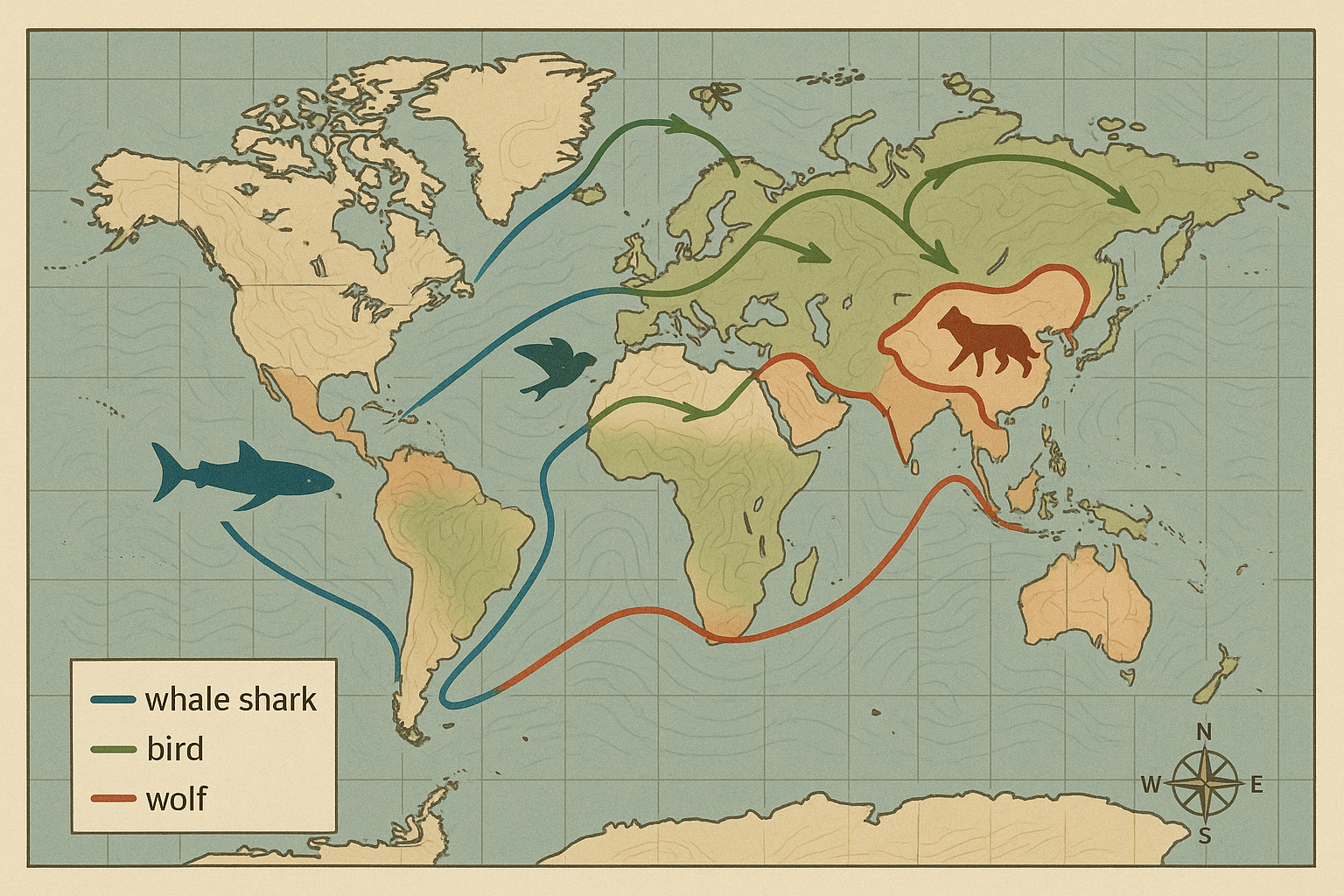
Perhaps the most breathtaking application of the Animal IoT is in charting migration. For centuries, we knew animals migrated, but the exact routes were largely a mystery. Now, we can see these global highways with astonishing clarity.
Consider the Bar-headed Goose. Famed for its biannual journey across the Himalayas, it was long a subject of wonder. Tracking data has shown that these birds don’t just brute-force their way over the peaks. Instead, they masterfully navigate the mountain geography, flying through specific low-lying passes and riding favorable wind currents to conserve energy. Their flight path is a lesson in atmospheric and physical geography, a precise route optimized for survival in one of the world’s most extreme environments.
In the oceans, the story is just as compelling. Satellite tagging of leatherback sea turtles has revealed vast “blue corridors” crisscrossing the Pacific. We can now visualize their entire journey from nesting beaches in Costa Rica to foraging grounds off the coast of South America. These maps show that their paths aren’t random; they follow specific oceanographic features, like temperature fronts and currents, where their jellyfish prey congregates. This knowledge is not just fascinating—it’s critical for establishing Marine Protected Areas (MPAs) that protect the animals along their entire route, not just at their destination.
A Forager’s Atlas: The Geography of a Meal
Beyond epic migrations, bio-logging reveals the intricate geography of an animal’s daily search for food. Foraging isn’t a random wander; it’s a calculated spatial strategy dictated by the landscape.
Take the Wandering Albatross of the Southern Ocean. With a wingspan of over 11 feet, these birds can travel thousands of kilometers on a single foraging trip. GPS tracking has shown that they are expert geographers. They specifically target underwater mountains (seamounts) and the edges of continental shelves. Why? Because in these locations, deep, nutrient-rich water is forced upwards in a process called upwelling, creating hotspots of biological productivity teeming with fish and squid. The albatross’s flight path is a direct reflection of the ocean floor’s topography hundreds of meters below.
On land, GPS collars on African elephants have mapped their movements across the savanna. These maps show a clear reliance on a network of waterholes, seasonal vegetation, and ancient, memorized pathways. Crucially, the data also reveals what they avoid: areas of high human density. This has allowed conservationists to identify and protect vital “elephant corridors” between national parks, ensuring the animals can move safely through an increasingly human-dominated landscape. This is where animal geography and human geography intersect, often with life-or-death consequences.
The Social Network: When Animal Paths Cross
The Animal IoT isn’t just about individual journeys; it’s about mapping relationships. By tracking entire groups, scientists can visualize social dynamics as they unfold across the landscape.
In Kenya, researchers fitted an entire troop of baboons with GPS collars. The resulting data provided an unprecedented look into collective decision-making. The maps showed how the troop moved as a cohesive unit, who initiated movement, and how they negotiated “disagreements” when different individuals wanted to go in different directions. It was a spatial representation of a democratic process, a social map laid over a physical one.
This data can even reveal altruism. A study on vampire bats used proximity sensors to show how individuals who had successfully fed would share their blood meals with hungry, less fortunate roost-mates. By tracking these interactions, scientists could map a complex web of reciprocity and social bonds, proving that sophisticated social safety nets exist far beyond the human world.
A Living Map for a Changing Planet
The information gathered by the Animal IoT extends far beyond animal behavior. It provides a unique and powerful lens through which to view our entire planet. Animals are becoming our co-researchers, our environmental sentinels.
Seals tagged with oceanographic sensors are gathering data on water salinity and temperature from beneath the polar ice caps in Antarctica—regions notoriously difficult and expensive for research ships to reach. Their dives provide a stream of vital data for climate change models. In cities, pigeons have been fitted with tiny backpacks that measure air quality, creating hyperlocal maps of pollution.
Ultimately, the Animal Internet of Things is revolutionizing conservation by grounding it in hard spatial data. We can design wildlife crossings, fishing regulations, and protected areas with unprecedented precision. We can see where human-wildlife conflict is most likely to occur and work proactively to mitigate it. By revealing the hidden geographies that govern the animal kingdom, we gain the wisdom to better share our crowded planet. Each ping from a satellite tag, each data point from a deep-diving seal, adds another brushstroke to a living, dynamic atlas of the natural world.