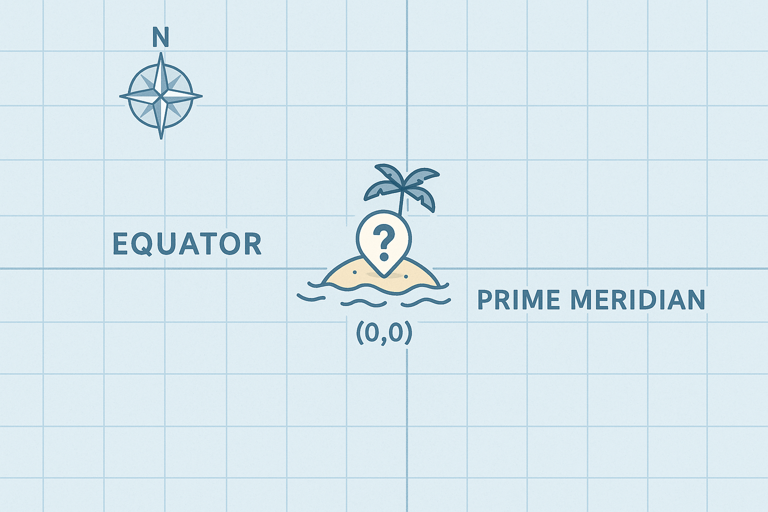
In the vast expanse of the Atlantic Ocean, at the precise point where the Equator meets the Prime Meridian, lies one of the most visited, yet entirely non-existent, places on Earth. It has a name, a flag, and a surprisingly large population. Welcome to Null Island, the geographic anomaly at 0°N, 0°E—a mapmaker’s inside joke, a programmer’s failsafe, and a fascinating window into how we navigate our digital world.
While you can’t book a flight there, Null Island’s story is a captivating journey through physical geography, data science, and the very human tendency to create meaning and culture, even out of an error message.
Where in the World is 0°N, 0°E?
Let’s start with the physical reality. If you were to sail to the coordinates 0° latitude, 0° longitude, you wouldn’t find a sandy beach or a bustling capital city. You’d find yourself in the international waters of the Gulf of Guinea, a large gulf of the Atlantic Ocean off the western coast of Africa. The nearest land is about 600 kilometers (370 miles) to the north, off the coast of Ghana.
The ocean here is deep, plunging to approximately 4,940 meters (16,210 feet). There is no volcanic seamount or hidden plateau that could support an island. The only man-made object you might encounter is a weather and sea observation buoy. Named “Soul”, this buoy is part of the Prediction and Research Moored Array in the Tropical Atlantic (PIRATA) system. It silently bobs in the waves, collecting vital data on air and water temperature, wind speed, and ocean currents. In a very real sense, this lonely buoy is the only “resident” at the world’s geographic center point.
The Birth of a Digital Island: Why Null Island Exists
So if there’s no land, why do we call it an island? The answer lies not in geology, but in geocoding.
Geocoding is the process of converting a human-readable address (like “10 Downing Street, London”) into machine-readable geographic coordinates (latitude and longitude). This is the magic that powers your GPS, food delivery apps, and online maps. But what happens when this process fails? An address might be misspelled, incomplete, or simply non-existent. The software needs a place to put these failed lookups.
Instead of causing the program to crash, computer programmers designated a default value for these errors. The most logical default for a coordinate system is its origin point: (0,0). In programming, an empty or non-existent value is often referred to as “null.” Thus, when an address couldn’t be found, it was sent to this “null” location.
Over time, as millions of these geocoding errors piled up at 0°N, 0°E, data analysts and cartographers looking at global datasets would see a massive, artificial cluster of points in the Atlantic. They humorously began referring to this cluster as an “island.” The name stuck: Null Island.
It is, in essence, a digital graveyard for bad data. It functions as a clear visual flag for developers, signaling that something went wrong with their location data and needs to be fixed. If a company maps its customer base and finds thousands of clients apparently living on a buoy in the Gulf of Guinea, they know they have a data-cleaning project on their hands.
The Human Geography of a Non-Existent Place
What started as a technical quirk has blossomed into a rich and quirky cultural phenomenon. Geographers, cartographers, and data scientists—the very people who understand the joke—have lovingly built an entire fictional world around Null Island. This act of creative “place-making” is a perfect example of human geography at play.
The community has given Null Island all the trappings of a real country:
- A Fictional Landscape: Despite being open ocean, maps of Null Island typically depict it as a small, circular island, often with tongue-in-cheek details like “Error Street”, “N/A Road”, or the “Geocoding Debugging Center.”
- A Flag: The unofficial flag of Null Island often features a simple design, sometimes incorporating a null symbol (Ø) or a map grid.
- A “History”: The lore of the “Republic of Null Island” has been expanded upon in blog posts and social media, creating a fictional history for this digital nation.
- A Population: Its “population” consists of the millions of misplaced data points, making it one of the most “populous” places on some datasets.
This vibrant subculture demonstrates how we impose narratives on the world, even on its empty spaces. Null Island has become a shared reference point, a piece of insider knowledge that unites a global community of map enthusiasts. It transforms a simple coordinate from a sterile piece of data into a place with a personality.
More Than Just a Joke: The Significance of Null Island
While the culture around Null Island is fun, its existence serves a critically important purpose in our data-driven world. It underscores the importance of data quality and the challenges of accurately representing our physical world in a digital format.
For educators, Null Island is a perfect teaching tool. It provides a fun and accessible way to explain the fundamental concepts of the geographic coordinate system: the Equator (the 0° line of latitude that divides the Northern and Southern Hemispheres) and the Prime Meridian (the 0° line of longitude that divides the Eastern and Western Hemispheres). The point where they cross is not just an arbitrary spot; it’s the anchor of our entire global grid.
Ultimately, Null Island is a symbol of the 21st century. It lives at the intersection of physical geography and cyberspace. It reminds us that the maps on our screens are not perfect mirrors of reality; they are complex constructs, built on code and data, complete with their own ghosts, errors, and surprisingly charming fictions.
So, the next time you use a map to find a new coffee shop or navigate to a friend’s house, spare a thought for Null Island. Though you will never visit its shores, its imaginary presence ensures that the maps guiding you are a little more accurate. It is the world’s most important non-existent place, a zero point on the map that is anything but insignificant.