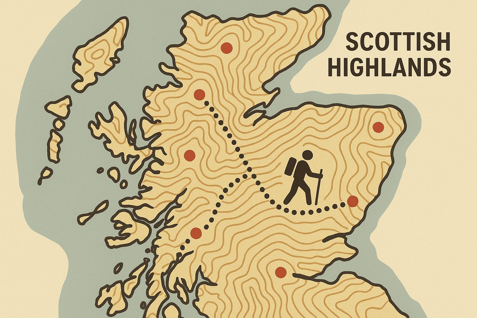
The Scottish Highlands are a landscape etched by deep time. Their vast, heather-clad moors and brooding mountains appear wild, untamed, and almost impervious to human influence. Yet, for over a century, a simple list has fundamentally reshaped how people interact with this ancient terrain, creating a unique and fascinating recreational geography. This phenomenon is known as “Munro bagging”, a national pastime that turns a catalogue of peaks into a grand adventure map of Scotland.
What Exactly is a Munro?
At its core, a Munro is a Scottish mountain with a summit height of over 3,000 feet (914.4 metres). The term comes from Sir Hugh Munro, a mountaineer and founding member of the Scottish Mountaineering Club (SMC), who in 1891 published his “Tables of Heights over 3,000 feet.” His meticulously compiled list was the first of its kind, and it had an electrifying effect on the burgeoning mountaineering community.
Suddenly, the vast and intimidating geography of the Highlands was codified. It was given a clear, quantifiable goal. The challenge was no longer just to climb a mountain; it was to climb all the mountains on the list. The act of “bagging” a Munro—ticking it off your personal list—was born. Today, the SMC maintains the official list, which currently stands at 282 distinct Munros.
The Physical Geography of the Challenge
The Munros are not just dots on a map; they are the high points of a complex and dramatic physical landscape. They are the eroded stumps of the Caledonian Mountains, a colossal range once comparable to the Himalayas, forged over 400 million years ago. More recently, during the last Ice Age, massive glaciers carved and scoured this ancient rock, leaving behind the distinctive features that define the challenge today:
- Glens and Lochs: Deep, U-shaped valleys (glens) and long, narrow lakes (lochs) act as natural corridors, but also as significant barriers, dictating access routes. The Great Glen, for instance, is a major fault line that slices Scotland in two, separating the Northwest Highlands from the Grampian Mountains.
- Arêtes and Corries: The glacial sculpting created knife-edge ridges (arêtes) connecting peaks and deep, armchair-shaped hollows (corries) on the mountainsides. Navigating the Aonach Eagach ridge in Glencoe or the jagged peaks of the Black Cuillin on the Isle of Skye requires scrambling skills and a head for heights.
- Plateaus and Peaks: The character of the Munros varies dramatically. The Cairngorms are home to a vast, sub-arctic plateau, the largest area of high ground in Britain, where navigation in poor visibility is a serious challenge. In contrast, the mountains around Glen Shiel or Kintail are a series of distinct, pointed peaks, offering a completely different “bagging” experience.
–
–
This varied topography, combined with Scotland’s notoriously fickle weather—where sunshine, rain, wind, and snow can all appear in a single day—is the physical canvas on which the human drama of Munro bagging plays out.
A Human Geography: The “Bagger’s” Map of Scotland
Sir Hugh Munro’s list didn’t just catalogue mountains; it created a new human geography. It superimposed a network of desire lines and destinations onto the physical landscape. The distribution of the Munros dictates the flow of people, money, and infrastructure throughout the Highlands.
The pastime has spawned a whole culture. Those who complete all 282 Munros are known as “compleatists” (a deliberate misspelling of ‘completers’). The first was the Reverend A. E. Robertson in 1901. Today, over 7,000 people have registered their “compleation” with the SMC. This shared goal has created a vibrant community with its own language, guidebooks, and online forums.
The spatial arrangement of the Munros shapes the bagger’s journey. Some peaks are incredibly accessible. Ben Lomond, overlooking Loch Lomond, is a popular first Munro for those living in the Central Belt cities of Glasgow and Edinburgh. The mountains lining the A82 road through Glencoe are “honeypot sites”, attracting thousands of visitors. Fort William, nestled at the foot of Ben Nevis (Britain’s highest peak), styles itself as the “Outdoor Capital of the UK”, its economy heavily reliant on the steady stream of walkers and climbers.
In stark contrast are the remote Munros. The Fisherfield Forest, often called “The Great Wilderness”, contains a group of five Munros that are among the most remote in the country. Bagging them typically requires a multi-day backpacking expedition, miles from the nearest road. This geographical isolation makes them a pinnacle achievement for many baggers, a true test of self-sufficiency and navigation.
The Geography of Impact: Tourism and Conservation
This focused recreational pressure is a double-edged sword. On one hand, Munro bagging is a powerful driver of tourism, supporting hotels, B&Bs, cafes, and outdoor shops in otherwise fragile rural economies. It encourages people to explore and appreciate the wild landscapes of their country.
On the other hand, it concentrates human impact. The single most visible geographical phenomenon caused by Munro bagging is footpath erosion. On popular mountains like Ben Nevis or Schiehallion, the sheer volume of boots has worn away the delicate alpine vegetation, creating wide, ugly scars of mud and stone that are visible for miles. This not only damages the ecosystem but can also make navigation more difficult.
This has prompted a significant conservation response. Organisations like the National Trust for Scotland and the John Muir Trust invest heavily in path maintenance and restoration, often using a technique called stone pitching to create durable, natural-looking staircases that can withstand the footfall. This is a direct geographical intervention, an attempt by humans to manage and mitigate their own impact.
The entire pastime is underpinned by a crucial piece of legal geography: the Land Reform (Scotland) Act 2003. This act enshrines the “right to roam”, giving the public statutory rights of access to most land for recreation. It is this freedom that allows baggers to traverse vast estates and cross private land to reach the summits. However, this right comes with responsibilities, encapsulated in the Scottish Outdoor Access Code, which emphasizes the “Leave No Trace” principle.
More Than Just a List
The Munros are a powerful example of how a human construct—a simple list—can redefine a physical landscape. They have transformed the Scottish Highlands from a wilderness to be viewed from the roadside into a grand, interactive playground. The list has created economic lifelines for remote communities, fostered a nationwide passion for the outdoors, and, simultaneously, presented new and urgent conservation challenges.
To bag a Munro is to do more than climb a mountain. It is to participate in a living geography, to follow a map drawn by obsession and adventure, and to place your own footsteps, however lightly, into a story that continues to shape Scotland’s magnificent highlands.