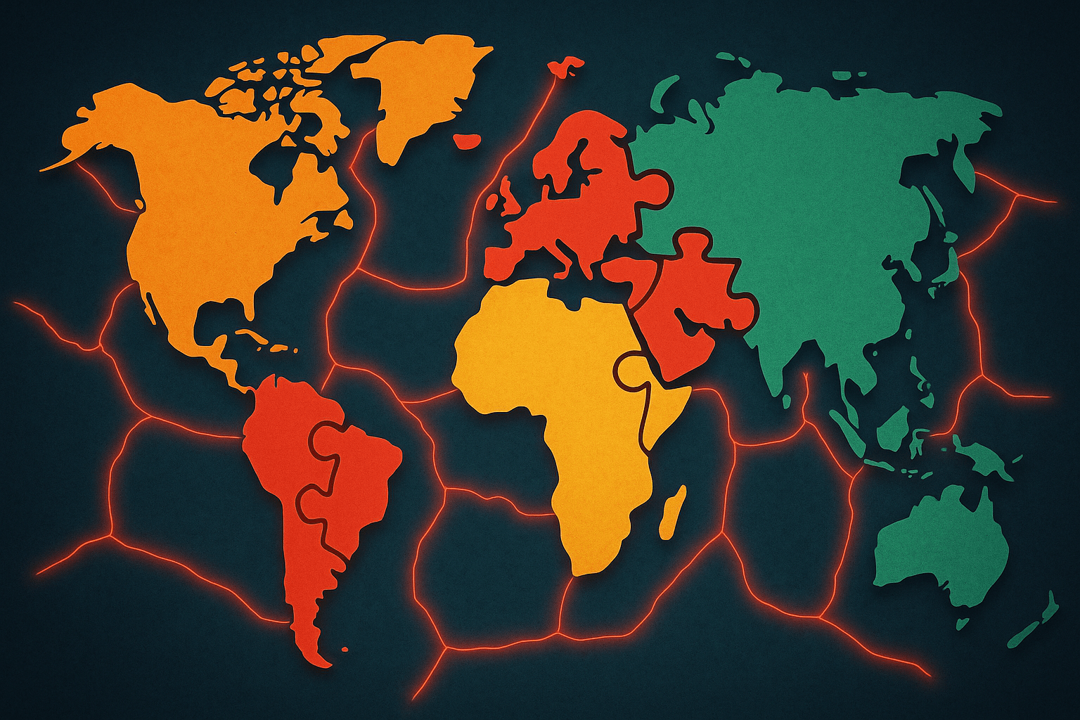
Look at a world map. It feels solid, permanent, a definitive chart of our planet’s land and sea. But what if I told you that map is just a snapshot? A single frame in an epic movie that’s been running for billions of years. The ground beneath your feet isn’t static; it’s a mosaic of colossal, slow-moving rafts we call tectonic plates, and their constant, imperceptible dance is the force that has sculpted our world.
This isn’t just about rocks and mountains. This grand geological ballet is responsible for the shape of our continents, the height of our mountains, the location of our cities, and even the divergence of our languages. To understand our world, we have to understand the restless Earth it’s built upon.
The Cracked Eggshell of a Planet
Imagine the Earth as a hard-boiled egg. You tap it gently, and the shell cracks into several large, interlocking pieces. That’s essentially our planet. The brittle outer layer, known as the lithosphere (which includes the crust and the very top of the mantle), isn’t a single, solid shell. It’s broken into about a dozen major tectonic plates and many more minor ones.
These plates aren’t just sitting there. They are floating on a hotter, denser, and more fluid layer of the mantle called the asthenosphere. Think of it like crackers floating on a thick soup. What makes them move? Immense heat from the Earth’s core creates convection currents in the mantle—a slow, churning motion like a pot of water on a stove. As the hot, semi-molten rock rises, cools, and sinks, it drags the tectonic plates along with it at a speed of a few centimeters per year, about the same rate your fingernails grow.
It sounds slow, but over millions of years, this glacial pace can move continents across the entire globe.
A Journey Back in Time: The Great Continental Breakup
About 300 million years ago, our world map would have been unrecognizable. Almost all the Earth’s landmass was welded together into a single supercontinent: Pangaea. In this world, you could have walked from what is now Florida to West Africa without getting your feet wet.
The evidence for Pangaea is written all over our modern-day maps and landscapes:
- The Perfect Fit: Look at the east coast of South America and the west coast of Africa. They fit together like puzzle pieces, a clue that once captivated geographer Alfred Wegener, the father of continental drift theory.
- Fossil Friends: Fossils of the same land-dwelling reptiles, like the Lystrosaurus, have been found in Antarctica, India, and South Africa. These creatures couldn’t have swum across the vast oceans that separate these places today. The only explanation is that these landmasses were once connected.
- Mountain Chains: The Appalachian Mountains in the United States share a similar rock composition and age with the Caledonian Mountains in Scotland and Scandinavia. They were once part of the same colossal mountain range that ran through the heart of Pangaea.
Around 200 million years ago, the same mantle forces that brought Pangaea together began to tear it apart. Rifts formed, oceans flooded in, and the continents we know today began their long, slow journey to their current positions. India, once attached to Antarctica, broke off and rocketed north on a 50-million-year collision course with Asia. This wasn’t just a gentle nudge; it was the slowest, most powerful impact in Earth’s recent geological history, and it was an event that literally moved mountains.
Where Worlds Collide: The Action at the Edges
The real drama happens at the plate boundaries—the edges where these massive rafts of rock interact. There are three main ways they do this, and each creates distinct geographical phenomena.
1. Divergent Boundaries (Pulling Apart)
Where plates pull away from each other, magma from the mantle rises to fill the gap, creating new crust. This is how oceans are born. The most famous example is the Mid-Atlantic Ridge, a massive underwater mountain range that runs down the center of the Atlantic Ocean. This ridge is pushing North America and Europe further apart every year. In some places, this rifting happens on land. The East African Rift Valley is a stunning example of a continent in the process of being torn asunder. In millions of years, a new ocean may separate East Africa from the rest of the continent.
2. Convergent Boundaries (Crashing Together)
When two plates collide, the results are dramatic. If an oceanic plate collides with a continental plate, the denser oceanic plate is forced to bend and slide beneath the lighter continental plate in a process called subduction. This friction and melting rock fuels volcanoes and triggers powerful earthquakes. The “Ring of Fire” encircling the Pacific Ocean—home to cities like Tokyo, Seattle, and Santiago—is a massive subduction zone, responsible for about 90% of the world’s earthquakes and many of its most active volcanoes.
When two continental plates collide, neither can easily subduct. Instead, they crumple and buckle like the hood of a car in a head-on collision. The rock has nowhere to go but up, forming massive mountain ranges. This is exactly how the Himalayas were created—and are still growing—from the epic collision of the Indian and Eurasian plates.
3. Transform Boundaries (Sliding Past)
Sometimes, plates don’t crash or separate but grind past each other horizontally. The friction isn’t smooth; the plates lock up, building immense stress over centuries. When the stress is finally released, the ground lurches violently, causing an earthquake. The notorious San Andreas Fault in California is a transform boundary between the Pacific Plate and the North American Plate. It’s the reason cities like Los Angeles and San Francisco live under constant seismic threat.
From Bedrock to Culture: How Tectonics Shaped Humanity
This constant reshaping of the Earth isn’t just a story about geography; it’s a story about us.
When continents broke apart, they isolated populations of plants and animals, leading to unique evolutionary paths. This is why Australia is home to a world of bizarre and wonderful marsupials found nowhere else on Earth. The continent’s long isolation allowed kangaroos and koalas to evolve without competition from placental mammals.
Mountain ranges, thrust up by colliding plates, created formidable barriers. The Himalayas didn’t just separate India from the rest of Asia physically; they created a cultural and linguistic wall. The towering Andes in South America isolated communities, contributing to the incredible diversity of indigenous cultures and languages found throughout the continent.
The very resources our civilizations are built on are products of tectonics. Volcanic eruptions, a byproduct of subduction, create incredibly fertile soil, which is why people have historically settled near active volcanoes like Mount Vesuvius in Italy, despite the danger. The pressure and heat from geological processes turned ancient organic matter into the coal, oil, and gas deposits that fueled the industrial revolution, often concentrated along ancient plate boundaries. Even the safe harbors of coastal cities like New York and Sydney exist because of geological events that shaped the coastline millions of years ago.
Our Ever-Changing World
The world map is not finished. The process continues today, silently and unstoppably. The Atlantic will continue to widen. Africa will continue to split. Los Angeles, on the Pacific Plate, is slowly inching its way northwest and will one day be a neighbor to San Francisco (which is on the North American Plate). In the very distant future, perhaps 250 million years from now, scientists predict the continents may once again merge into a new supercontinent: Pangaea Ultima.
So the next time you look at a map, remember you’re not seeing a fixed image. You’re seeing one frame in an epic, planet-sized movie—a story of fire and pressure, of collisions and separations. You’re seeing the quiet, powerful force that built the mountains you hike, the oceans you cross, and the very ground that supports the cities, countries, and cultures we call home.