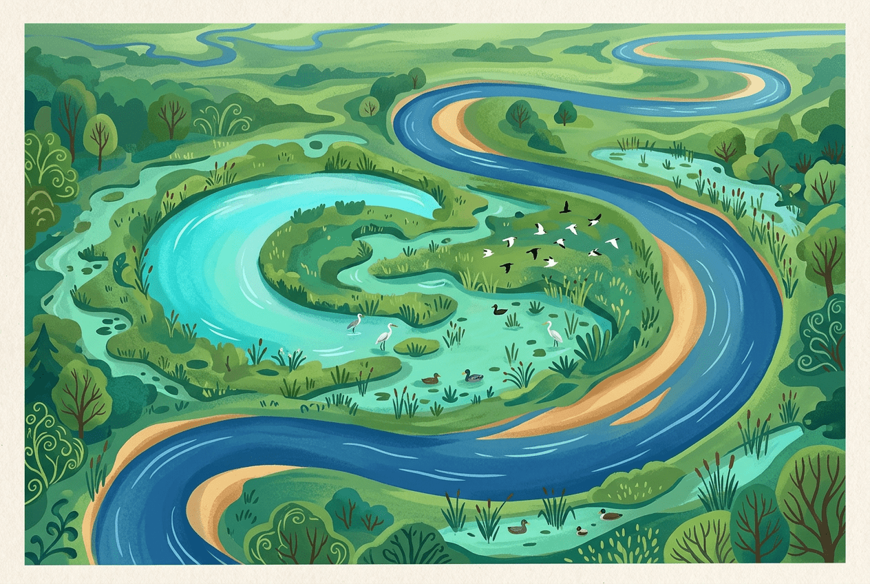
Rivers, for all their apparent permanence on our maps, are restless creatures. They wander, they wiggle, and — every so often — they abandon parts of themselves entirely. When a meandering river takes a shortcut across one of its own loops, it leaves behind one of geography’s most elegant landforms: the oxbow lake. These crescent-shaped bodies of water are fossils of a river’s past, frozen moments in an ongoing story of erosion, deposition, and change.
From the floodplains of the Mississippi to the vast wetlands of the Amazon, oxbow lakes tell us how rivers really behave — and why the straight blue lines we draw on maps rarely capture the truth.
Why Rivers Refuse to Flow Straight
Left to their own devices on relatively flat terrain, rivers almost never flow in straight lines. Even the smallest irregularity — a boulder, a patch of resistant clay, a fallen tree — can deflect the current slightly. Once that happens, physics takes over.
As water swings around a bend, it flows fastest on the outside of the curve. This faster flow has more energy, so it erodes the outer bank, undercutting it and carving what geographers call a river cliff or cut bank. Meanwhile, on the inside of the bend, the water slows down and drops its load of sand and silt, building up a gentle point bar (also known as a slip-off slope).
The result is a feedback loop: erosion on the outside pushes the bend outward, deposition on the inside fills in behind it, and the curve grows more and more exaggerated over time. These sinuous curves are called meanders, a name borrowed from the Büyük Menderes River in western Turkey — a waterway so famously winding that the ancient Greeks turned its name into a verb.
The Moment of Abandonment: How a Cutoff Happens
A meander cannot grow forever. As the loop becomes increasingly exaggerated, the narrow strip of land at its neck — the space between the two arms of the loop — gets thinner and thinner. Eventually, one of two things happens:
- Neck cutoff: During a flood, high water surges across the narrow neck, carving a new, shorter channel. The river, always seeking the path of least resistance, adopts this shortcut permanently.
- Chute cutoff: The river gradually erodes a channel across the point bar itself, slicing through the inside of the bend rather than the neck.
Once the cutoff forms, the old loop is doomed. Sediment quickly accumulates at both ends where the abandoned channel meets the new one, sealing the loop off from the main flow. What remains is a curved, isolated lake — shaped like the U-shaped yoke once fitted around an ox’s neck, hence the name oxbow lake. In Australia, these features go by the wonderfully evocative Aboriginal-derived name billabong; in Texas and Louisiana, cutoff lakes are often called resacas or simply “cutoffs.”
The Mississippi: A Master of Self-Abandonment
No river demonstrates oxbow formation more dramatically than the lower Mississippi. Winding across an almost perfectly flat alluvial plain between Memphis, Tennessee, and the Gulf of Mexico, the Mississippi has spent thousands of years writhing back and forth, leaving a floodplain littered with abandoned channels.
Some famous examples include:
- Lake Chicot, Arkansas: At roughly 35 kilometres (22 miles) long, this is the largest oxbow lake in North America. It formed around 600 years ago when the Mississippi cut off one of its great loops, and today it anchors a state park popular with anglers and birdwatchers.
- Horseshoe Lake, Illinois: An ancient oxbow near Cairo, Illinois, now a haven for bald cypress and tupelo trees more typical of southern swamps.
- Moon Lake and Eagle Lake, Mississippi: Classic crescent lakes that appear in the writings of authors like William Faulkner and Tennessee Williams, so embedded are they in the cultural landscape of the Delta.
The Mississippi’s restlessness has even redrawn political boundaries. State lines between Mississippi, Arkansas, and Louisiana were originally set along the river’s course — but when the river cut off a meander, the boundary stayed put. The result is a patchwork of odd territorial fragments: small pieces of Mississippi stranded on the Arkansas side of the river, and vice versa. Kentucky Bend, a piece of Kentucky reachable by land only through Tennessee, owes its existence to the river’s meandering geometry.
Humans have also forced the issue. In the 1930s, the U.S. Army Corps of Engineers deliberately engineered cutoffs on the lower Mississippi, shortening the river by more than 240 kilometres (150 miles) to speed flood waters toward the Gulf. Each artificial cutoff created a new oxbow.
Oxbows Around the World
The Mississippi may be famous, but oxbow lakes appear wherever rivers meander across low-gradient plains:
- The Amazon Basin: Satellite images of the Amazon and its tributaries, like the Ucayali in Peru, reveal hundreds of oxbows in every stage of formation and decay. Local people call them cochas, and they teem with piranhas, caimans, and giant river otters.
- The Songhua River, China: Its floodplain in northeastern China is stippled with abandoned meanders visible from space.
- The Murray River, Australia: Its billabongs are icons of Australian folklore — the “billabong” in the song Waltzing Matilda is exactly this kind of feature.
- The Vistula and Danube in Europe: Though heavily engineered today, historic oxbows along these rivers survive as protected wetlands.
From Abandoned Channel to Wildlife Haven
An oxbow lake’s disconnection from the river is precisely what makes it ecologically precious. Cut off from strong currents, the water becomes calm, warm, and rich in nutrients. Over time, a predictable succession unfolds:
- Aquatic plants like water lilies and pondweed colonise the still water.
- Reeds, rushes, and sedges creep in from the edges as sediment slowly fills the basin.
- Eventually — over centuries — the lake may become a marsh, then a wet meadow, and finally dry land, leaving only a curved scar called a meander scar visible from the air.
During these long intermediate stages, oxbows serve as nurseries for fish, resting stops for migratory birds, and refuges for amphibians and reptiles. In the Amazon, oxbow lakes are critical habitat for the endangered giant otter and the arapaima, one of the world’s largest freshwater fish. Along the Mississippi Flyway, oxbows host enormous flocks of ducks, herons, and egrets. Many floods temporarily reconnect oxbows to their parent rivers, allowing fish to spawn in the sheltered waters before retreating — a rhythm that entire ecosystems depend upon.
Reading the Landscape
Once you know what to look for, oxbow lakes become impossible to miss. Open any satellite map of a lowland river — the Mississippi Delta, the Peruvian Amazon, the plains of Bangladesh — and you’ll see them: crescents and horseshoes scattered across the floodplain like parentheses in a long sentence, each one marking a route the river once took and then gave up.
They are reminders that landscapes are not static backdrops but dynamic systems, constantly rewriting themselves. A river’s abandoned curve is not a failure or a dead end. It’s a gift — a quiet, curved lake where herons stalk the shallows, exactly where roaring floodwaters once flowed.