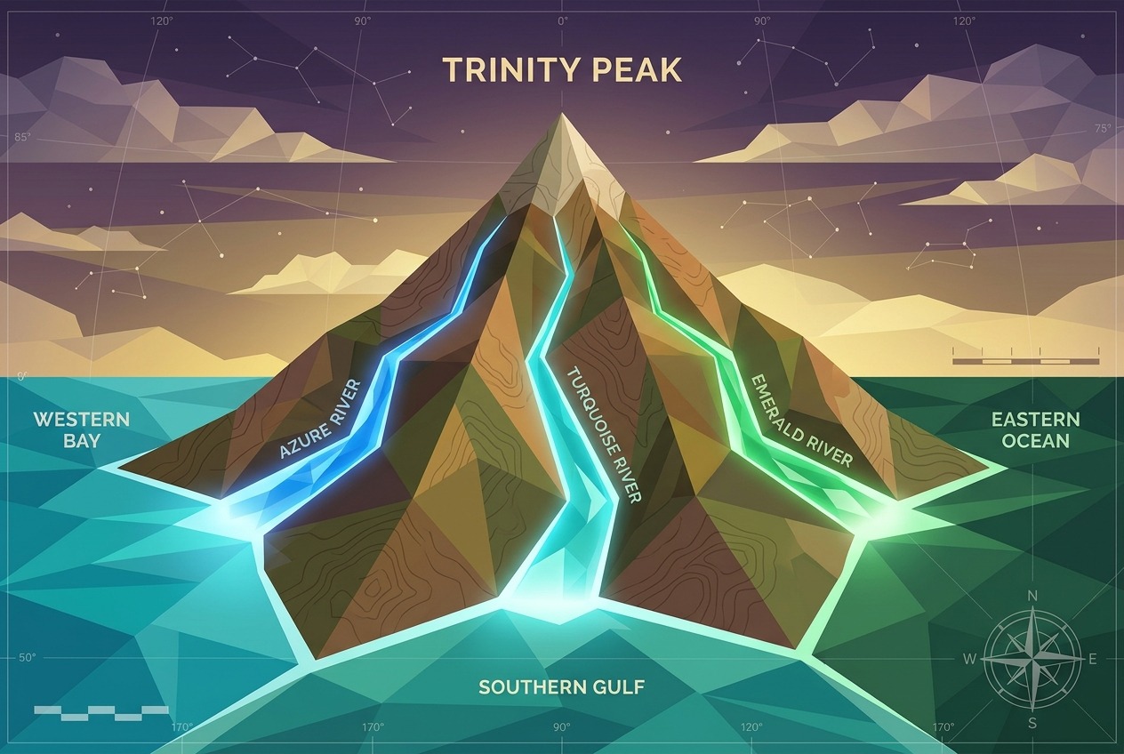
Imagine a single raindrop landing on a mountain summit. Depending on which side of the peak it strikes—sometimes a matter of mere inches—that drop might end its journey in the Pacific Ocean, the Atlantic, or the frigid waters of the Arctic. These extraordinary places are called triple divide points, and they represent some of the most fascinating hydrological features on Earth. While every continent has countless watershed boundaries, only a handful of summits send water to three separate oceans or major drainage basins. Let’s explore where these peaks are, how they work, and why they carry surprising legal and symbolic weight.
What Exactly Is a Triple Divide?
A drainage divide is a line of high ground separating two watersheds—the areas of land where all precipitation flows toward a common outlet. Most divides separate just two basins. But occasionally, three major watersheds converge at a single point, creating a hydrological apex where water splits three ways.
Not all triple divides are created equal. Geographers distinguish between:
- Oceanic triple divides: Points where water flows to three different oceans—the rarest and most celebrated type.
- Continental triple divides: Points where three major river basins meet, even if two ultimately reach the same ocean.
- Endorheic triple divides: Points involving closed basins, where water never reaches any ocean at all, evaporating instead in inland lakes or salt flats.
Triple Divide Peak, Montana: The Crown of the Continent
The most famous example sits in Glacier National Park, Montana. At 8,020 feet (2,444 meters), Triple Divide Peak is modest by Rocky Mountain standards—but hydrologically, it may be the most important summit in North America.
Rain falling on its slopes takes one of three remarkable journeys:
- West: Down Pacific Creek into the Flathead and Columbia Rivers, reaching the Pacific Ocean.
- East: Via Atlantic Creek into the Missouri and Mississippi Rivers, arriving in the Gulf of Mexico and thus the Atlantic.
- North: Through Hudson Bay Creek into the Saskatchewan River system, eventually emptying into Hudson Bay.
Here lies a delightful geographic controversy: is Hudson Bay part of the Arctic Ocean or the Atlantic? The International Hydrographic Organization has historically classified it as Arctic, which would make Triple Divide Peak the hydrological apex of North America. Others argue Hudson Bay is an arm of the Atlantic—in which case the true Arctic-Atlantic-Pacific apex lies further north.
Snow Dome: Canada’s Icy Contender
If you side with the “Hudson Bay is Atlantic” camp, then North America’s genuine three-ocean apex is Snow Dome, an 11,339-foot (3,456-meter) glaciated summit on the Alberta–British Columbia border in the Canadian Rockies. Perched atop the Columbia Icefield, Snow Dome feeds:
- The Columbia River, flowing to the Pacific;
- The Athabasca River, which joins the Mackenzie system and drains into the Arctic Ocean;
- The North Saskatchewan River, bound for Hudson Bay and, arguably, the Atlantic.
Uniquely, Snow Dome’s divide is written in ice rather than rock. Its meltwater feeds three of the continent’s great river systems from a single dome of compacted snow—a poignant symbol as climate change accelerates the retreat of the Columbia Icefield.
Siberia’s Obscure Hydrological Apexes
Asia, the largest continent, hosts triple divides that few travelers have ever heard of. In the remote highlands of Siberia and Mongolia, unnamed or little-known summits separate colossal drainage basins:
- In the Sayan Mountains near the Russia–Mongolia border, divides separate the Yenisei basin (Arctic Ocean), the Ob basin (also Arctic), and the vast endorheic basins of Central Asia, where rivers like those feeding Mongolia’s Great Lakes Depression simply vanish into the steppe.
- Further east, points in the mountains near Lake Baikal separate Arctic-bound waters from the Amur River system, which flows to the Pacific.
These Asian apexes highlight the importance of endorheic basins. Roughly 18 percent of Earth’s land surface drains internally—into the Caspian Sea, the Aral Sea basin, the Tarim Basin, and countless smaller sinks. A triple divide involving an endorheic basin marks the boundary between water destined for the global ocean and water trapped forever inland.
Other Notable Triple Points Around the World
- Lunghin Pass, Switzerland: Near the summit of Piz Lunghin, water splits toward the North Sea (via the Rhine), the Black Sea (via the Inn and Danube), and the Mediterranean (via the Maira and Po). It’s often called Europe’s most important watershed point.
- Hala’ib region and East Africa: Divides in the East African highlands separate the Nile (Mediterranean), the Congo (Atlantic), and rivers flowing to the Indian Ocean.
- The Andes: South American divides separate Amazon waters (Atlantic) from short, steep Pacific drainages and from endorheic basins like Bolivia’s Altiplano, home to Lake Titicaca and the Salar de Uyuni.
Why Triple Divides Matter Legally
These points are far more than trivia. Water law across the world is organized around watersheds, and divide points anchor real legal boundaries.
International treaties frequently reference drainage divides. The Columbia River Treaty between the United States and Canada, the Danube River Protection Convention, and the Nile Basin Initiative all define rights and obligations based on which side of a divide water falls. A triple divide is therefore a point where three distinct legal regimes can meet.
Interstate water compacts in the American West—governing rivers like the Colorado and the Missouri—allocate every acre-foot of water by basin. Where a drop lands relative to a divide determines which states, farmers, and cities may claim it.
Political borders often follow divides, too. Portions of the Alberta–British Columbia border, the Chile–Argentina frontier, and numerous European boundaries trace watershed lines, occasionally sparking disputes when glaciers shift or surveys are revised.
Symbolism: Sacred Waters and the “Crown of the Continent”
Long before hydrologists mapped these points, Indigenous peoples recognized their significance. The Blackfeet Nation regards the Triple Divide region of Montana as part of the sacred Mo’kakiikin—the Backbone of the World. Conservationist George Bird Grinnell dubbed the Glacier region the “Crown of the Continent”, a name that endures precisely because of its hydrological royalty: this is where a continent’s waters are born and dispersed.
Triple divides have also become powerful symbols in the era of climate change. The shrinking Columbia Icefield atop Snow Dome is a visible reminder that the sources of three great river systems—supplying drinking water, agriculture, and hydropower to millions—depend on ice that is disappearing within a human lifetime.
A Drop’s Destiny
Stand on Triple Divide Peak during a summer storm, and you’re witnessing one of geography’s quietest dramas. Two raindrops landing a hand’s width apart may end up 4,000 miles from each other—one warming in the Gulf of Mexico, another freezing in Hudson Bay. These summits remind us that watersheds connect mountaintops to distant coasts, upstream actions to downstream consequences, and local geography to global systems. In a world where water grows ever more precious, the points where it splits three ways deserve our attention—and our care.