This isn’t just an academic quibble. It has caused bridges to misalign at international borders, flood maps to disagree by tens of centimeters, and engineers to break out in cold sweats. Let’s dive into the strange science of measuring height.
The Problem: The Ocean Won’t Sit Still
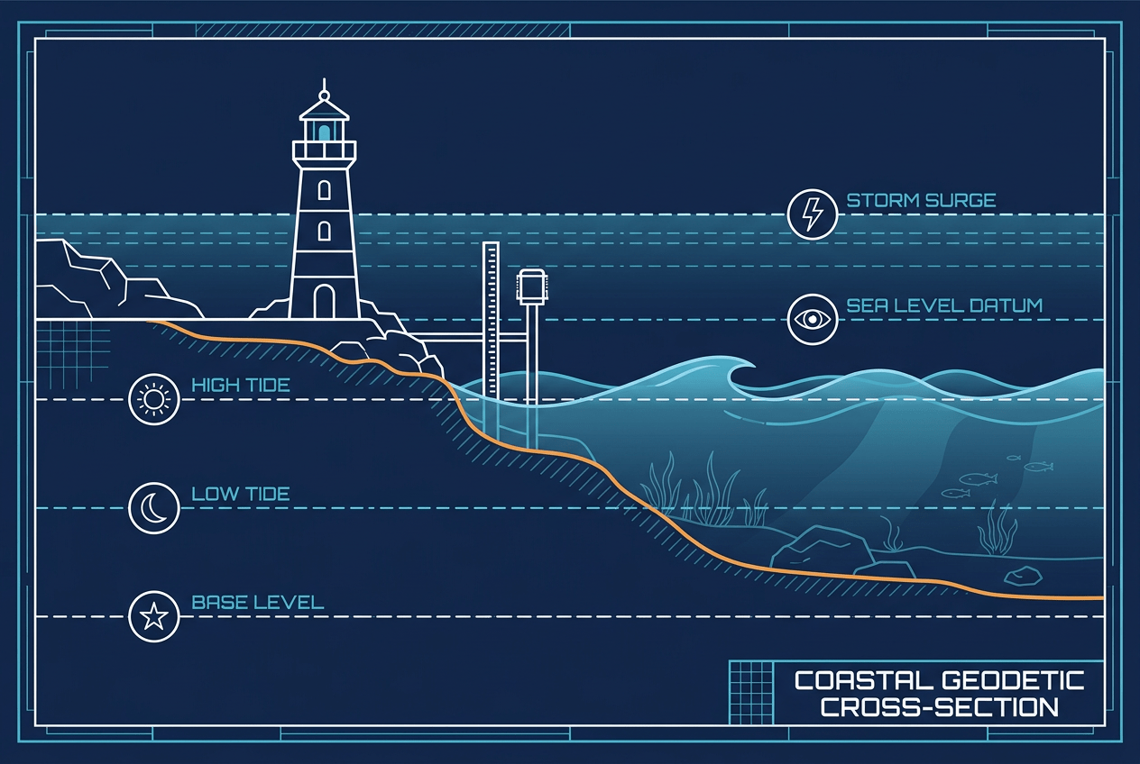
The intuitive idea behind “sea level” is simple: imagine the ocean at rest, extended under the continents through imaginary canals. Elevation is just your height above that surface. Unfortunately, the real ocean refuses to cooperate.
Sea surface height varies globally by nearly two meters due to persistent ocean currents, water temperature differences, salinity, and atmospheric pressure. The western Pacific sits noticeably higher than the eastern Pacific. The Atlantic side of the Panama Canal is about 20 centimeters lower on average than the Pacific side. Tides, storms, and seasonal cycles add further chaos.
Historically, nations solved this by picking a tide gauge, averaging its readings over many years, and declaring that point “zero.” The trouble is that everyone picked a different gauge.
A Tour of the World’s Competing Zeros
Different countries anchor their elevation systems to different reference points, often for reasons of history and convenience:
- The Netherlands uses the Amsterdam Ordnance Datum (Normaal Amsterdams Peil, or NAP), established in the 1680s from tide measurements in Amsterdam’s harbor. It became the reference for much of Western Europe.
- Germany historically tied its heights to Amsterdam via a benchmark, while Switzerland based its system on a tide gauge in Marseille, on the Mediterranean.
- Great Britain uses Ordnance Datum Newlyn, derived from tide readings at Newlyn, Cornwall, between 1915 and 1921.
- Russia and much of Eastern Europe reference the Kronstadt tide gauge near St. Petersburg, on the Baltic Sea.
- The United States uses the North American Vertical Datum of 1988 (NAVD88), anchored to a single benchmark at Rimouski, Quebec, on the St. Lawrence.
Because the Baltic, the North Sea, the Mediterranean, and the Black Sea all sit at slightly different mean levels, these national “zeros” don’t match. Heights in Belgium differ from Dutch heights by more than two meters — not because of any error, but because Belgium chose low tide rather than mean tide as its reference. Cross a European border with an elevation map, and the numbers quietly shift beneath your feet.
The Bridge That Almost Missed
The most famous casualty of datum confusion is the Hochrheinbrücke, a bridge spanning the Rhine between Laufenburg, Germany, and Laufenburg, Switzerland. Engineers on both sides knew their vertical datums differed — Germany’s referenced the North Sea, Switzerland’s the Mediterranean — creating a known offset of 27 centimeters.
The correction was duly applied. Unfortunately, it was applied in the wrong direction. Instead of canceling out, the discrepancy doubled to 54 centimeters. When construction progressed from both banks in 2003, surveyors discovered the German side was heading toward a meeting point half a meter higher than the Swiss side. The error was caught before completion, and the German approach was lowered — but the episode became a legendary cautionary tale in geodesy classrooms worldwide.
Ellipsoids: The Smooth Mathematical Earth
Modern GPS complicates the story further. Satellites don’t know anything about tide gauges or oceans. Instead, GPS measures your position relative to a reference ellipsoid — a smooth, flattened sphere that approximates Earth’s shape. The most common is WGS84, the ellipsoid underlying the Global Positioning System.
Here’s the catch: heights above the ellipsoid can differ from traditional “sea level” heights by up to 100 meters. If your GPS receiver reported raw ellipsoidal height, you might stand on a beach in Sri Lanka and be told you’re about 90 meters below sea level. The ellipsoid is mathematically elegant but physically meaningless — water doesn’t flow relative to it, and gravity doesn’t care about it.
The Geoid: Earth’s Lumpy True Shape
Enter the geoid — the surface geodesists consider the “true” shape of sea level. The geoid is defined by gravity: it’s the surface where Earth’s gravitational potential is constant, roughly matching where the oceans would settle if free of currents, winds, and tides.
The geoid is astonishingly lumpy. Because Earth’s mass is unevenly distributed — dense mountain roots here, low-density mantle anomalies there — gravity varies from place to place, and the geoid rises and falls accordingly. Its most dramatic feature is the Indian Ocean Geoid Low, south of India, where the geoid dips about 106 meters below the ellipsoid. Meanwhile, near Indonesia and the North Atlantic, it bulges tens of meters upward.
This matters practically because water flows downhill relative to the geoid, not the ellipsoid. Engineers designing canals, sewers, and irrigation systems need geoid-based heights, or water might appear to flow “uphill” on paper. That’s why your smartphone quietly applies a geoid correction model before displaying your elevation.
Why Datums Keep Changing
Vertical datums aren’t permanent, because Earth itself isn’t. Several forces conspire to make old benchmarks obsolete:
- Glacial isostatic adjustment: Land in Scandinavia and around Canada’s Hudson Bay is still rebounding from the last Ice Age, rising as much as a centimeter per year. Meanwhile, areas around the former ice sheets’ edges are sinking.
- Subsidence: Cities like Jakarta, New Orleans, and Mexico City are sinking due to groundwater extraction — Jakarta by up to 25 centimeters annually in some districts.
- Sea level rise: The ocean itself is climbing roughly 3–4 millimeters per year, steadily eroding the meaning of century-old tide gauge zeros.
The United States is responding with a complete overhaul. NAVD88, it turns out, is tilted — off by up to two meters in parts of the Pacific Northwest. Its replacement will abandon physical benchmarks entirely, defining heights through a satellite-derived gravity model, thanks in part to missions like GRACE and GOCE that mapped Earth’s gravity field from orbit.
So Where Is Sea Level, Really?
The honest answer: it depends who you ask and where you’re standing. Sea level is not a fact of nature but a negotiated convention — a compromise between physics, history, and national bureaucracy. Everest’s famous 8,849 meters is itself the product of a 2020 agreement between Nepal and China, who had previously disagreed on the mountain’s height partly because of datum differences.
The next time a map tells you your elevation, remember: that number rests on centuries of tide gauge readings, satellite gravity surveys, and international committee meetings. Sea level isn’t where the water is. It’s where we’ve collectively agreed to pretend it would be — and even then, we don’t fully agree.