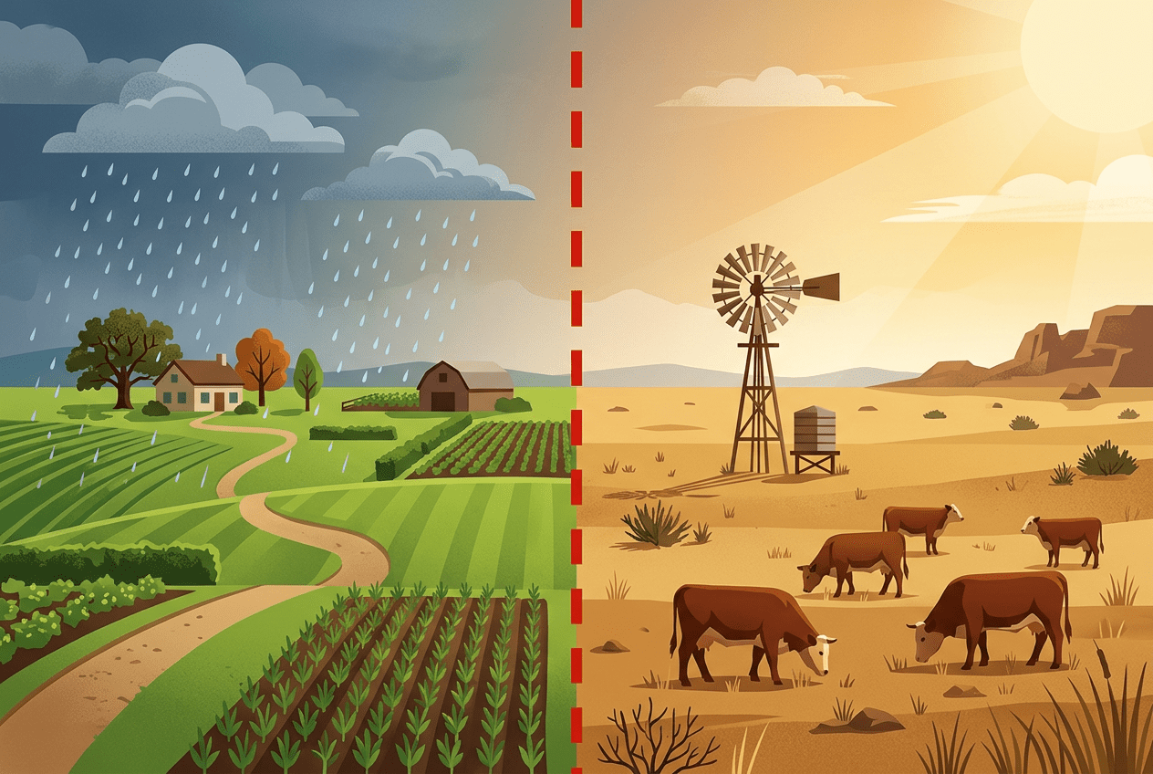
What Is the 100th Meridian?
The 100th meridian is simply a line of longitude—100 degrees west of Greenwich, England. It slices through six states: North Dakota, South Dakota, Nebraska, Kansas, Oklahoma, and Texas. Cities like Dodge City, Kansas, and Cozad, Nebraska (which proudly displays a sign marking the meridian over its main highway) sit almost directly on it.
But its significance isn’t astronomical—it’s climatic. The 100th meridian roughly corresponds to the 20-inch rainfall line, the threshold below which conventional agriculture becomes difficult or impossible without irrigation. East of the line, humid air from the Gulf of Mexico delivers reliable rain. West of it, the rain shadow of the Rocky Mountains and distance from moisture sources create a semi-arid landscape of shortgrass prairie, dust, and big sky.
The first person to recognize this divide’s importance was John Wesley Powell, the one-armed Civil War veteran and explorer who famously ran the Colorado River in 1869. In his 1878 Report on the Lands of the Arid Region of the United States, Powell warned Congress that the settlement patterns and farming methods of the East simply would not work west of the 100th meridian. His advice—to organize western settlement around watersheds and limit farming to irrigable land—was largely ignored, with consequences that would prove catastrophic.
A Line You Can See From the Air
Fly over the Great Plains and the meridian’s influence becomes strikingly visible. To the east, the landscape is a quilt of green rectangles—corn, soybeans, and dense farmsteads. To the west, the land opens into vast tan expanses of wheat, rangeland, and the telltale green circles of center-pivot irrigation, where farmers pump groundwater to defy the dry climate.
The divide shows up in nearly every measure of human geography:
- Population density drops sharply west of the line. Counties east of the meridian are typically several times more densely populated than those to the west.
- Farm size balloons westward. Where 200 acres might sustain a family in Iowa, a viable ranch in western Kansas or eastern Colorado might require thousands of acres.
- Crop choices shift from thirsty corn in the east to drought-tolerant wheat, sorghum, and grazing land in the west.
- Town spacing stretches out, with communities strung farther apart along rail lines and highways.
Even architecture and culture reflect the divide. The dense small towns of the Midwest give way to the sprawling ranch country of the West, with its distinct identity, economy, and politics.
How the Dry Line Wrote American Law
Perhaps the most profound legacy of the 100th meridian is legal. Water law in America is split into two fundamentally different systems, and the boundary between them tracks the meridian remarkably closely.
East of the line, states inherited English riparian rights: if you own land along a stream, you can use its water reasonably. This works fine where water is plentiful.
West of the line, scarcity demanded a different rule. Western states developed prior appropriation—often summarized as “first in time, first in right.” Whoever first diverts water for beneficial use holds the senior claim, regardless of whether their land touches the stream. In a drought, senior rights holders get their full allocation while junior users may get nothing. This doctrine, born in Colorado’s mining camps and codified across the West, remains the framework for today’s bitter battles over the Colorado River, the Rio Grande, and countless smaller streams.
The Homestead Act of 1862 offered settlers 160 acres—a sensible size in Illinois, a recipe for failure in eastern Montana. Waves of homesteaders lured west by railroad propaganda and the pseudo-scientific slogan “rain follows the plow” learned the meridian’s lesson the hard way. The Dust Bowl of the 1930s, centered on the dry side of the line, was in many ways the bill coming due for ignoring Powell’s warnings.
The Line Is Moving East
In 2018, climate scientists Richard Seager and colleagues at Columbia University published research confirming what Powell had intuited—the 100th meridian really does mark a sharp climatic divide—and adding an alarming update: the effective dry line has already shifted eastward, to roughly the 98th meridian, and is projected to keep moving as the climate warms.
The mechanics are straightforward. Rising temperatures increase evaporation, so even where rainfall stays constant, soils dry out faster. Meanwhile, precipitation patterns are shifting, with the southern Plains in particular trending drier. The result: the arid West is expanding into what was once the humid East.
A shift of two degrees of longitude may sound trivial. On the ground, it means the dry zone has advanced roughly 140 miles into some of America’s most productive farmland—affecting places like Wichita, Kansas; Oklahoma City; and San Antonio, Texas, which increasingly experience conditions once associated with lands farther west.
Consequences for Farms, Water, and Towns
The eastward creep of aridity carries enormous implications:
- Agriculture: Corn, the king of American crops, may retreat eastward, replaced by wheat, sorghum, and grazing. Farms in the transition zone will likely consolidate into larger operations, echoing the historical pattern west of the line.
- Groundwater: The Ogallala Aquifer, the vast underground reservoir that made Plains agriculture possible, is already being drained far faster than it recharges. In parts of western Kansas and the Texas Panhandle, wells are failing. A drier climate will only intensify the pumping—and hasten the depletion.
- Water rights: States built on riparian assumptions, like eastern Kansas and much of Texas, may face conflicts their legal systems weren’t designed to handle. Expect more litigation, more interstate water disputes, and pressure to adopt western-style allocation.
- Rural communities: Fewer, larger farms mean fewer families, shrinking school districts, and hollowed-out main streets—a demographic pattern long familiar west of the meridian, now poised to spread east.
Powell’s Vindication
Nearly 150 years after John Wesley Powell stood before Congress and warned that geography, not ambition, would dictate the West’s future, his invisible line is having the last word. The 100th meridian reminds us that human geography is ultimately built on physical geography—that rainfall, more than railroads or real estate promoters, decides where crops grow and towns thrive.
The line’s eastward march is a rare thing: climate change made visible, measurable, and mapped across the American heartland. How farmers, lawmakers, and communities respond—by adapting crops, conserving aquifers, and rethinking water law—will determine whether the transition is managed or merely endured. The dry line is moving. The question is whether America will move with it.